BREVA Wine & Path (Bruttig-Fankel, Ernst, Valwig)
- start: Valwig or Bruttig
- destination: Valwig or Bruttig
- medium
- 3,14 km
- 1 hour 14 minutes
- 193 m
- 264 m
- 97 m
- 100 / 100
- 60 / 100
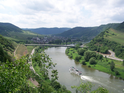
The nature experience is a 3.1 km long hiking trail that runs right through the steep slope of Valwiger Herrenberg. Hikers are offered an impressive view of the Mosel Valley. The path was painstakingly created by many volunteers from different localities. It was dug into the mountain with consideration for the natural conditions.
The joint project of the towns Bruttig-Fankel, Ernst, and Valwig is based on the idea of creating a pleasure connection between a premium Mosel wine and active experience of the steep vineyards. Get to know the mountain, the path, the wine, and the region with all your senses.
A wine cultural landscape developed over millennia can best be understood by exploring it. Along steep rocks and vineyards, experience viticulture, flora, and fauna up close. Small steps and ropes help to overcome difficult spots.
General information
Safety Guidelines
After and during rain, snowfall, or ice, special caution is required. Walk carefully, wear good footwear, and avoid overestimating yourself and risky excursions.
Be sure to take enough provisions (especially mineral water). However, pay attention to the weight of your backpack. Take breaks, carry a mobile phone with you (for emergencies), and avoid hiking during thunderstorm risk.
Equipment
Sturdy footwear and weatherproof clothing are required for the hike.
Tip
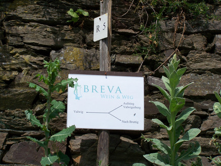
As a souvenir, it is recommended to bring a bottle of wine from the region: BREVA wine is a premium product made from selected Riesling grapes. The winemakers from the steep vineyards of Valwiger Herrenberg supply their best grapes for its production.
Parking
Bruttig-Fankel
Parking at the Mosel riverbank and at the bridge
Ernst
Parking at the Mosel riverbank
Valwig
Parking at the Mosel riverbank
Valwigerberg
Parking at the sports field
Public transit
DB Train:
DB Koblenz-Trier to Cochem station, then continue by bus line
Bus line:
Maps
Topographic map with hiking and cycling trails / Mosel hiking area
Ferienland Cochem and Treis-Karden 1:25000, ISBN 978-3-89637-256-7
€6.90
Additional Information
Tourist Information Ferienland Cochem
Endertplatz 1
56812 Cochem
Tel.: +49 (0) 2671-6004-0
Fax: +49 (0) 2671-6004-44
E-mail: info@ferienland-cochem.de
Internet:
Pavings
- Path (80%)
- Hiking Trail (20%)
Weather
This tour is presented by: Ferienland Cochem, Author: Tourist-Information Ferienland Cochem


