Burg-Olymp-Tour - Hiking on the Moselle in Bernkastel-Kues
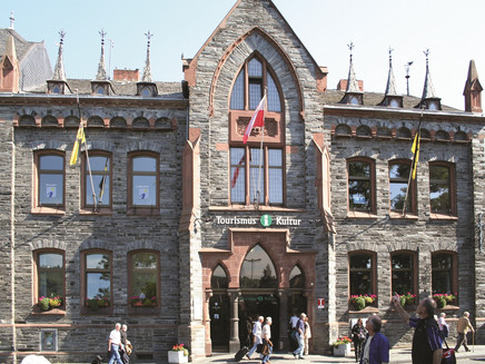
- start: Tourist-Information, Gestade 6, Bernkastel
- destination: Tourist-Information, Gestade 6, Bernkastel
- medium
- 7,08 km
- 2 hours 50 minutes
- 298 m
- 404 m
- 106 m
- 100 / 100
- 40 / 100
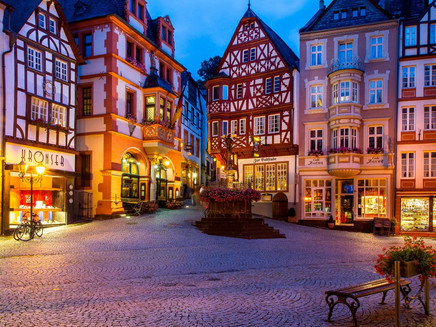
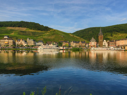
Romantic forests, historic monuments and narrow paths define this hiking tour. Start is in the Old-Town of Bernkastel-Kues.
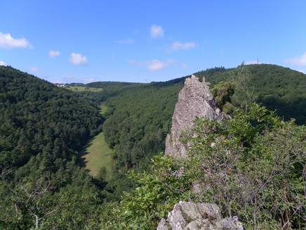
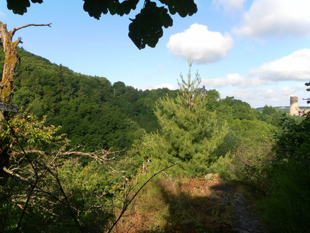
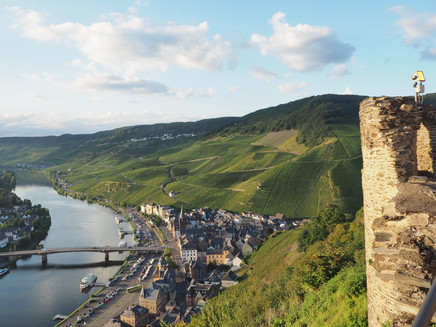
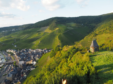
Out of the hustle city and into the wild. the Burg-Olymp-Tour leads on paths through the forest around Bernkastel and to beautiful vantage points like the St. Anna Chapel, the Wilhelmshöhe and the Olymp - the highest elevation of the hike.
Insights into the hiking tour:
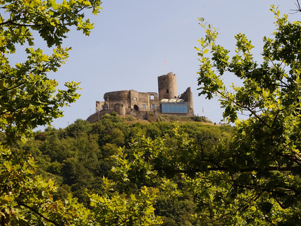
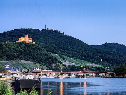
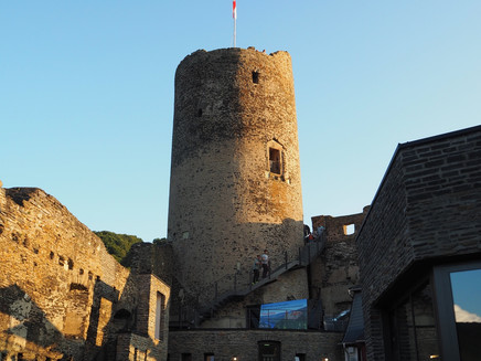
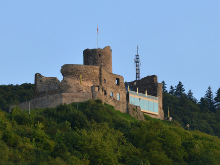
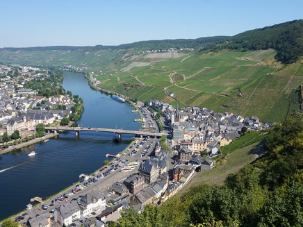
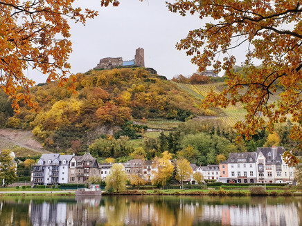
This hike offers beautiful views of the Moselle valley, a varied landscape and insights into the history of the Moselle town of Bernkastel-Kues. From the car park on the banks of the Moselle, the route leads to the Tourist Information Office at the "Gestade" in Bernkastel: the official starting point of the tour. Passing the St. Anna Chapel, the tour continues through the forest towards the "gold digger"town of Andel. The Olymp viewpoint, which can be reached about halfway along the hike, is an ideal resting place. Descend to the castle ruins of Landshut, whose oldest walls date from the 4th century B.C.
There are nice places to stop for refreshments in the old town of Bernkastel-Kues as well as along the route in the restaurant of Burg Landshut.
General information
Directions
The starting point of the hike is at the "Gestade 6", in front of the Tourist Information. At the "Hotel zur Post" you walk along the steep castle path through the vineyards in the direction of St. Anna Chapel. Straight ahead and uphill you walk on the "Kreuzweg" up to the St. Anna Chapel. From the Chapel, a steep hiking trail leads you in the direction of Wilhelmshöhe. At the first fork, the path, a medieval connection to the Hunsrück, turns off to the so-called "Waldfrieden". Up here nature, peace and seclusion come together. This ascending path winds its way through the dense forests of the Moselle. At the "Bismarcksruh" you have a nice view at the Moselle town. Your next destination for the hike through the city's forests is "Wilhelmshöhe". From the vantage point "Wilhelmshöhe" the view reaches far into the Eifel. Follow the forest path in the direction of Monzelfeld and head for the destination "Olymp". After some time, the forest gives you a view of the village of Monzelfeld. This place is also a second, possible starting point of this hike. Following the forest path to the left you reach the "Tiefenbachtal", a side valley of the Moselle. Then you continue the hike to "Olymp". The Bernkasteler "Olymp" is with 415 m the highest elevation to the Hunsrück, which opens the view into the Mosel valley. The descent from the "Olymp" leads you over a narrow trail back in the direction of the historic city centre. At the former youth hostel, the hiking trail forks back into the main path, which also leads to the former youth hostel. The path runs along the upper slope of the "Tiefenbachtal" valley, past the magnificent estate and the former youth hostel car park. Downhill to Landshut Castle and back to the town centre near the Moselle via the asphalted path and stairs.
Safety Guidelines
No special safety instructions.
Equipment
Hiking or trekking shoes are sufficient.
Tip
In the castle ruins of Landshut there is a restaurant - a nice place to stop for a bite to eat with a magnificent view.
Getting there
From Wittlich on the L 52 and on the K 57. Drive through Platten, past Wehlen, Zeltingen and Graach
Parking
Parking is available on the large Moselle car park on the Bernkasteler and Kueser sides. During the winter months parking is free of charge, from Easter to 31 December parking is subject to a fee.
Public transit
Taxi Edringer: (0049) 6531 - 8149, Taxi Priwitzer: (0049) 6531 - 96970, Taxi Reitz: (0049) 6531 - 6455
Literature
WanderGuide - Hiking guide for the Ferienland Bernkastel-Kues (in German).
Maps
WanderGuide - Hiking guide for the Ferienland Bernkastel-Kues (in German).
Additional Information
Wein- und Ferienregion Bernkastel-Kues GmbH
Gestade 6
54470 Bernkastel-Kues
Phone: (0049) 6531/50019-0
Pavings
- Street (3%)
- Asphalt Coating (9%)
- Crushed Rock (12%)
- Path (21%)
- Unknown (10%)
- Hiking Trail (45%)
Weather
This tour is presented by: Ferienland Bernkastel-Kues, Author: Lisa Willems
