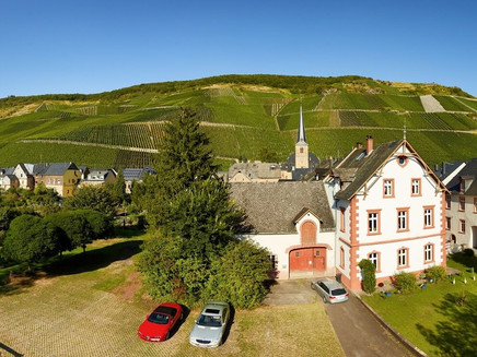
Graacher Schanzenweg above the Moselle village Graach
- start: Graacher Schäferei, Parkplatz "An der Traver Ruh"
- destination: Graacher Schäferei, Parkplatz "An der Traver Ruh"
- easy
- 5,53 km
- 1 hour 49 minutes
- 263 m
- 431 m
- 277 m
- 80 / 100
- 20 / 100
Hike around a historical ski jump, which was built at the end of the 18th century. Hardly any gradients, on the way you are on field paths and trails
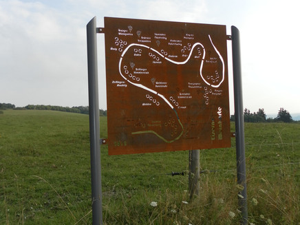
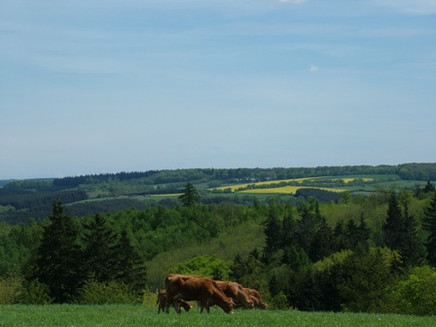
Short (5.5 km), but very scenic hike high above the wine village of Graach. The Graach redoubts are fortifications built by the Prussian army above Graach in 1794 to fend off the French revolutionary armies. After the Prussians withdrew, French troops occupied the site and by 1797 had expanded it into a larger fortress, Mont National, with the aim of housing 120,000 soldiers and 150 cannons. With the peace of Campo Formio the work was stopped. Today, the Graacher Schanzenweg leads over the remaining remains of the site and offers beautiful views of the Moselle valley.Insights into the hiking tour:There is a lot to see along the way - the trail passes the Maria Zill vantage point, the "Iron Wine List" rest stop, the construction project of the B50 new road and the Graacher Schanzen.You can stop for a bite to eat at the "Weinschenke mit Herz", a wine tavern high above the river Moses.
General information
Directions
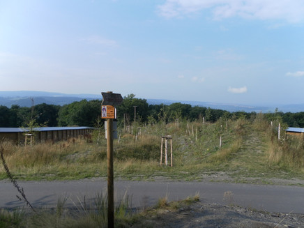
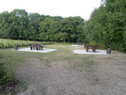
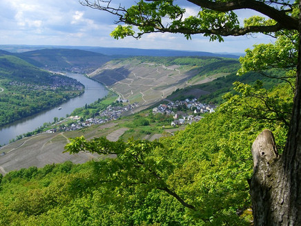
The Graacher jump tour starts at the hiking car park "An der Traver Ruh", which is located a little above the "Graacher Schäferei". The "Graacher Schanzenweg" leads you about 50 m above the parking lot - in the curve area - straight ahead into the forest. After a few meters you turn right into a small path. Stepping stones made of concrete help to overcome the damp ground. At the end of the path you cross another hiking trail. On the forest path you reach a narrow, winding path along the edge of the slope. There the refuge "Maria Zill" offers a possibility to rest in case of rain. The viewpoint of the same name with many benches will soon follow. The view into the Moselle valley is magnificent. On the left you can see Bernkastel-Kues and the wine village Mülheim. On the right hand side you can see the villages of Graach with the Graach sheep farm, Wehlen with the striking Moselle bridge and Zeltingen-Rachtig with the large barrage.After a rest, the path leads you downhill into the forest to the excursion pub "Weinschenke mit Herz" (formerly: "Iron Wine List"). Here you can stop for refreshments (Wednesdays are closing days). On a forest path the trail continues uphill. You will come to a crossroads, which you have already passed at the beginning of the tour. Straight ahead you walk up to the hiking rest area "Eiserne Weinkarte" in the construction site area of the "B50 neu". Through the bridge underpass you will safely reach the other side of the route and turn left. After about 100 metres parallel to the route, the path turns diagonally into a meadow. Follow the signs to the edge of the forest at the "Graacher Schanzen". A small path then leads you criss-cross over a part of the former fortifications, of which ramparts and ditches still bear witness today. At the end of the path you pass the large construction site again, but now over a game bridge. A path leads downhill through the forest. An asphalt road announces the end of the hike. Now still downhill through the bend and the starting point of your hike is reached.
Safety Guidelines
Easy hike on good, safe paths,
Equipment
Sturdy shoes (hiking or trekking shoes) and rucksack food.
Tip
Before that, e.g. in Bernkastel-Kues, go shopping for rucksacks and then take a break at the refuge "Maria Zill": here the view of the Moselle is simply magnificent!
Getting there
Coming from the B 53, through the wine village of Graach and the vineyards up to the "Graacher Schäferei", high above the Moselle.
Parking
Graacher Schäferei, Parkplatz "An der Traveer Ruh"
Public transit
Bernkastel-Kues: Taxi Edringer: (0049) 6531 - 8149, Taxi Priwitzer: (0049) 6531 - 96970, Taxi Reitz: (0049) 6531 - 6455
Literature
WanderGuide - the hiking guide in the Bernkastel-Kues holiday region. With description and map.
Maps
WanderGuide - the hiking guide in the Bernkastel-Kues holiday region. With description and map.
Additional Information
Ferienland Bernkastel-Kues
Gestade 6
54470 Bernkastel-Kues
Phone: (0049) 6531/50019-0
Community and tourist office in Graach
Hauptstr. 94
54470 Graach
Phone: (0049) 65 31 - 25 41
www.graach.de
Weather

This tour is presented by: Ferienland Bernkastel-Kues, Author: Lisa Gerber
