Hiking Trail of Songs
- start: Tourist-Info Enkirch
- destination: Tourist-Info Enkirch
- medium
- 5,07 km
- 2 hours
- 171 m
- 269 m
- 99 m
- 80 / 100
- 40 / 100
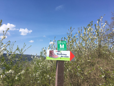
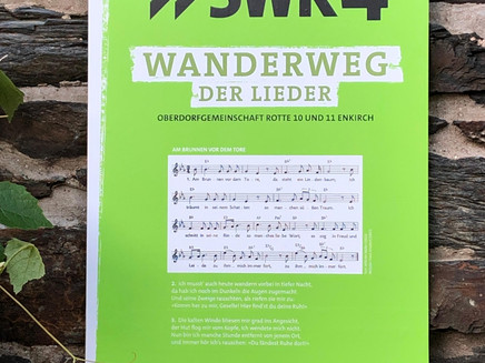
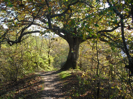
Numerous song panels invite you to linger and sing along with well-known german hiking songs on this varied circular trail through vineyards and the Moselle heights around Enkirch.
The "Hiking Trail of Songs" was created in summer 2009 with the help of numerous hardworking hands, the campaign "Rheinland-Pfalz macht mit" and SWR4.
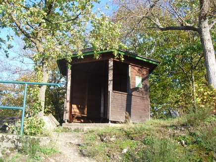
A total of twelve boards with sheet music and song texts were set up at various stations along the trail. Encouraged by this, the hikers will have no choice but to linger and warble away in many voices. Classics such as "Listen, what's coming in from outside" are on the "song board" as well as regional folk songs from the Moselle. The "Oberdorfgemeinschaft Rotte 10 und 11" is the initiator, which also repaired steps on the hiking trail and planted fruit trees along the way. At a rest pavilion, SWR4 garden expert Heike Boomgaarden also planted a herb garden for tired hikers' feet.
General information
Directions
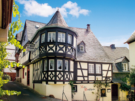
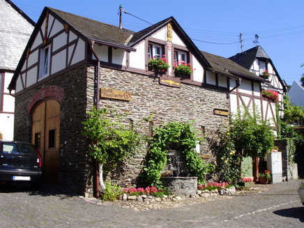
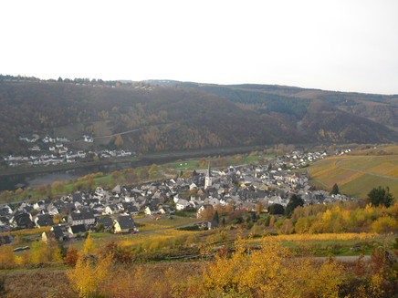
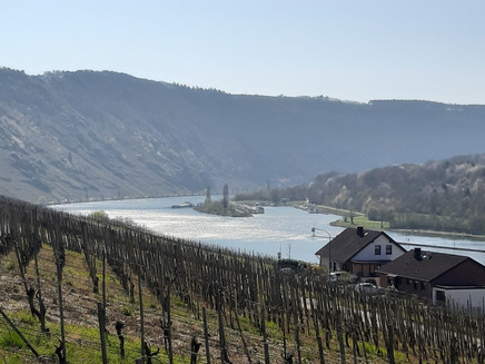
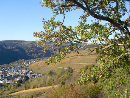
We start at the tourist information in Enkirch and turn right at the crossroads over the bridge into the village. After a few metres, we follow the second street, the "Weingasse", to the left uphill to the first junction on the right. Here, too, we follow the path uphill along some of Enkirch's most beautiful half-timbered houses and the Heimatstuben museum to the church. Walk halfway round the church and again slightly uphill along Kirchstraße into the historic upper village.In front of the "Duckes", Enkirch's old prison, we turn right and follow the main road to the left until we reach the cemetery. From here, the "Hiking Trail of Songs" follows well-maintained paths through the vineyards to the vantage point above the steep slope hiking trail, which offers a wide view over the Moselle valley and the mountains of the Eifel on the opposite side. The route then leads back along the ridge, following the route of the Moselsteig, to the "Rottenblick" vantage point and back to Enkirch along the footpath.
Safety Guidelines
Be sure to be sure-footed in some passages. Otherwise, it is an easily accessible hiking trail.
Equipment
Sturdy shoes are recommended. In summer, make sure you wear sufficient sun protection.
Tip
A visit to the Protestant church or the Heimatstuben museum are worthwhile.Don't forget your camara for the many beautiful vantage points.
Getting there
Mit dem PKW über die B53, L192 oder L193 bis nach Enkirch
Parking
Parken am Moselparkplatz Enkirch - Kostenfrei.
Ca. 150m zum Startpunkt
Public transit
Mit dem Zug (Ostern bis Oktober): mit Mosel-Wein-Bahn bis zum Haltepunkt Kövenig, dann mit der Fähre nach Enkirch. Zum Startpunkt ca. 150m von der Fähre.
Per Bus mit der Linie 333 (Moselbahn, Trier-Bullay) oder Linie 720 (Bullay-Traben-Trabach) bis zur Haltestelle Enkirch. Ca. 150m zum Startpunkt
Literature
Panorama-Wanderkarte Enkirch
Maps
Topographische Wanderkarte 1:25.000
Wandergebiet Mosel - Mittelmosel-Kondelwald
ISBN: 978-3-89637-257-4
Additional Information
www.enkirch.de
Pavings
- Asphalt Coating (23%)
- Street (3%)
- Path (33%)
- Hiking Trail (15%)
- Crushed Rock (22%)
- Unknown (3%)
Weather
This tour is presented by: Moselregion Traben-Trarbach Kröv, Author: Birgit Immich
