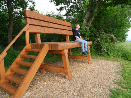
Hochgerichtsweg in Kleinich in Moselhunsrück
- start: Village centre of Kleinich
- destination: Village centre of Kleinich
- medium
- 13,04 km
- 3 hours 27 minutes
- 151 m
- 598 m
- 449 m
- 60 / 100
- 40 / 100
Relaxing circular hike through the Moselhunsrück on forest and meadow paths. A contrast hike to the tours along the Moselle, where there is sometimes a lot of traffic.
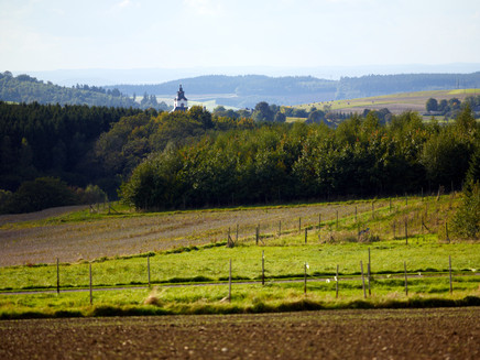
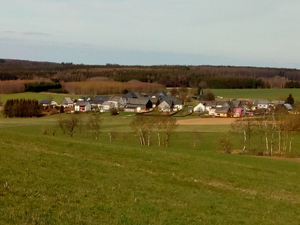
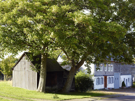
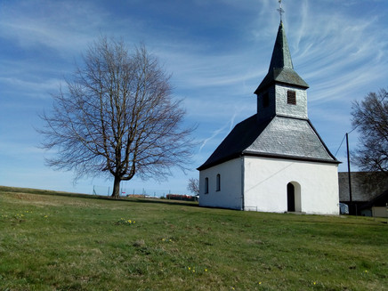
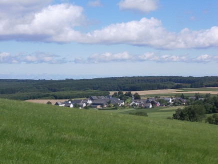
The hike starts in Kleinich, which belongs to the parish of Kleinich. The word Kirchspiel stands for parish. The small villages of Kleinich, Pilmeroth, Fronhofen, Thalkleinich, Götzeroth, Ilsbach, Hochscheid and Oberkleinich together form the parish of Kleinich, where the Reformation was introduced in 1557. Until today the inhabitants are therefore almost exclusively Protestant, in contrast to those of the neighbouring parishes of Monzelfeld, Longkamp and Kommen.A clear contrast to the Mosel is the Hunsrück. Four to five hundred meters above the Moselle there are extensive forests in a magnificent mountainous part of the holiday region. It is a very special, remote world, only a few kilometres away from the hustle and bustle of the valley. If you are looking for pure nature, if you are looking for silence and tranquillity in a charming landscape, you have come to the right place. And will find species-rich forests, green heaths and magnificent views!Insights into the hiking tour:The tour is something for "quiet" hikers. Even on the forest paths in the forest there is hardly any traffic, here you can walk along beautifully. Nevertheless, there are beautiful views and worth seeing stations like the Wilhelmsbrunnen or the grave field of the archaeology park "Belginum".You can stop for refreshments at Landhaus Arnoth in KIeinich.
General information
Directions
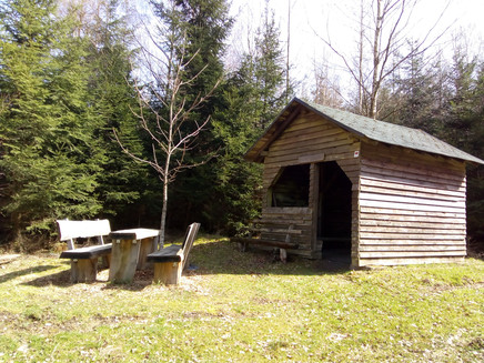
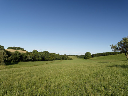
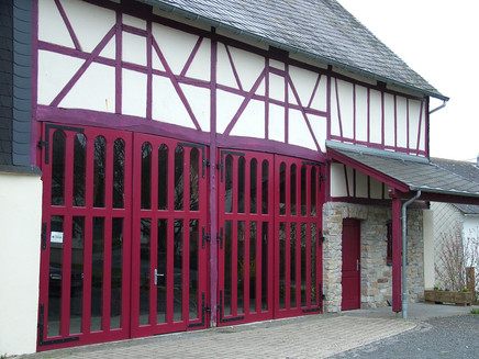
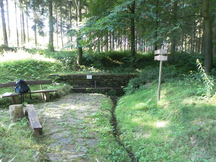
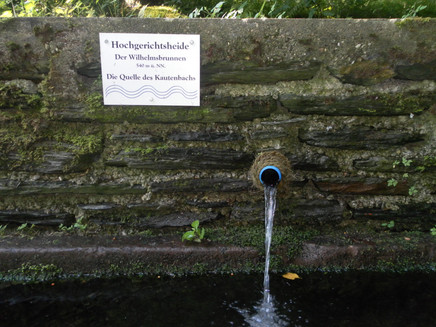
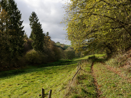
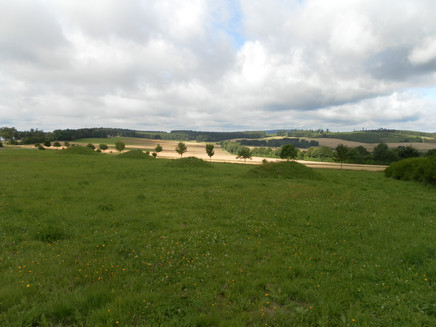
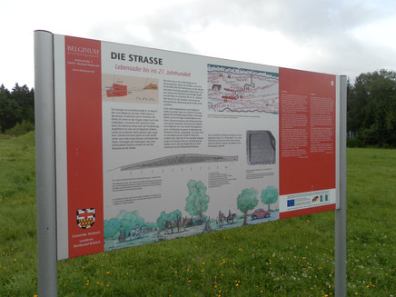
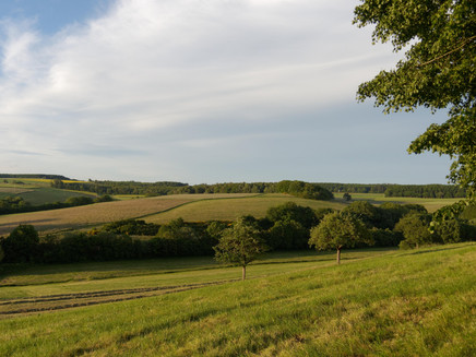
The starting point of the Hochgerichtsweg is in the centre of Kleinich. From there the Hochgerichtsweg runs towards Oberkleinich, from the village location, through an open field landscape before it turns into a magnificent forest path. Before reaching Oberkleinich, a wide view of the Hunsrück opens up to you. A lovingly furnished local history museum, in the old mill in Oberkleinich, provides information on the history and customs of the parish at the weekend. From the museum of local history you walk along the district road K 126, and after about 500m you turn between the fields. Gently ascending you reach the extensive forest area "Hochgerichtsheide".The criminal justice of the Middle Ages distinguished between the high and the low jurisdiction. While the lower court was entrusted with penitent offences, the high court was set on the execution of death-worthy crimes and developed between the 12th and 13th century into a pure blood court. Crimes such as robbery, murder, theft, witchcraft or infanticide were punished by different forms of execution, depending on the social status and the seriousness of the crime. Execution by beheading, for example, was for a long time a "privileged" method of execution for nobles. For crimes that were to be punished by mutilation, there were different forms of punishment, such as "putting on the pillory", cutting or cutting off body parts (e.g. ears and tongue), "washing", flogging or branding. The lower courts remained responsible for insults or scuffles, which were not allowed to impose "bloody punishments", but "only" to impose fines, imprisonment, dishonor or banishment.Through this historically significant forest area of the Hochgerichtsheide, the path after the hunting lodge Horrido leads you to the old postal road, a former long-distance postal route from Thurn und Taxis towards Brussels. The organisation of the imperial postal system was one of the historically important great deeds of the Thurn und Taxis family. Franz von Taxis was the first to set up an organised courier service in Italy and, at the turn of the 16th century, laid the foundations for the development of an international postal service; a letter transport between Innsbruck and Brussels could be completed in five and a half days.You leave the former postal route at a small refuge; the route continues uphill to the "Halsterhöhe". After leaving the forest area, you will have a beautiful view over the burial ground of the "Belginum" archaeological park and the hilly landscape of the Hunsrück.Graphic panels along the path that leads you through the grave field provide interesting information about life in the time of Celtic and Roman settlement. A short detour to the museum (about 500m) is worthwhile, because history can be experienced here. Now you go back to the forest area "Hochgerichtsheide" - sometimes over wide forest paths, sometimes over remote, narrow paths, right through the middle of the forest. About 100m from the Hochgerichtsweg you will find the Wilhelmsbrunnen, which is ideal for a little cooling off and a rest.After leaving the forest area, you can enjoy a wonderful view of the parish on the so-called "Scheid hill" above Götzeroth. You walk a short distance through the village of Götzeroth before the Hochgerichtsweg takes you into an idyllic stream valley. Towards the end of the tour, a short ascent leads you towards Kleinich. Between the fields you go straight on, past the fire station and the kindergarten of the municipality, back into the village.
Safety Guidelines
Pay attention to the traffic at the start in Kleinich.
Equipment
Hiking boots and hiking food are recommended.
Tip
The Archaeology Park Belginum - open from Easter to October - provides lively information about Celtic and Roman history: be sure to plan a visit.
Getting there
Coming from Bernkastel, follow the B53 in the direction of Trier through Andel to Mülheim, then turn left in Mülheim in the direction of Mainz/Monzelfeld/Mülheim (L158). Near Kommen take the third exit at the roundabout (B269), then turn right (B50). Then take the third exit again at the roundabout (B327/B50), then turn right towards Kleinich.
Parking
Free parking spaces are available in the centre of the village (Hauptstraße)
Public transit
Bernkastel-Kues: Taxi Edringer: (0049) 6531 - 8149, Taxi Priwitzer: (0049) 6531 - 96970, Taxi Reitz: (0049) 6531 - 6455
Literature
All hiking trails in the Bernkastel-Kues holiday region are available in the WanderGuide. This brochure is available at all tourist information offices in the Ferienland. Online: https://en.bernkastel.de/visitor-information/order-brochures
Maps
WanderGuide - the hiking guide in the Bernkastel-Kues holiday region. With description and map.
Additional Information
Ferienland Bernkastel-Kues
Gestade 6
54470 Bernkastel-Kues
Phone (0049) 6531/50019-0
en.bernkastel.de
Pavings
- Asphalt Coating (15%)
- Hiking Trail (72%)
- Unknown (6%)
- Crushed Rock (4%)
- Path (3%)
Weather
This tour is presented by: Ferienland Bernkastel-Kues, Author: Lisa Gerber
