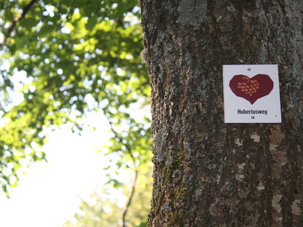
Hubertusweg in the Moselhunsrück near Longkamp
- start: Village well in the centre of 54472 Longkamp
- destination: Village well in the centre of 54472 Longkamp
- medium
- 10,45 km
- 2 hours 40 minutes
- 588 m
- 514 m
- 407 m
- 60 / 100
- 60 / 100
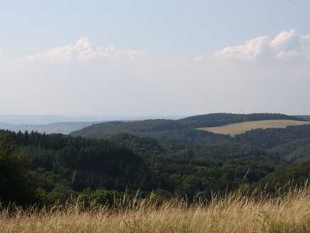
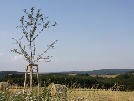
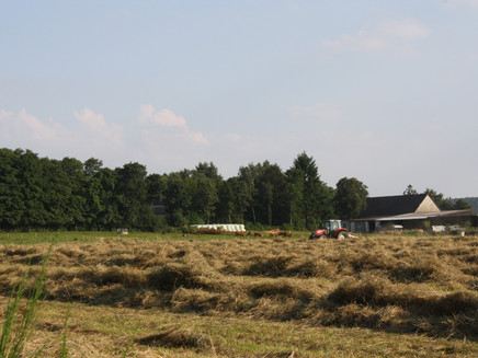
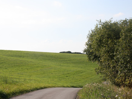
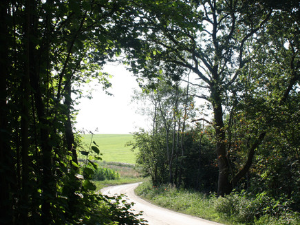
An open landscape of fields, meadows and pastures, interrupted by small forest passages: the circular hike through the Hunsrück leads for the most part on forest and farm tracks.
The starting point of the hike is in Longkamp. The village lies on the edge of the Hunsrück and is therefore often called the "Gateway to the Moselle". In addition to beautiful scenery, the village offers above all peace and relaxation.Insights into the hiking tour:Only very slight gradients await you on the hike. Thus you can comfortably hike a small part of the Mosel-Hunsrück.First of all, the hike takes you along field paths to the construction site of the B50 neu. One of the largest bridges in Germany is currently being built here, as well as a new highway connection. After crossing the impressive construction project, the route continues along fields and fruit tree alleys to Monzelfeld. Over woods and meadow paths with beautiful views and resting places, the route then heads back towards Longkamp. Refreshments are available at the "Zur Altheck" inn (note opening times) in Longkamp.
General information
Directions
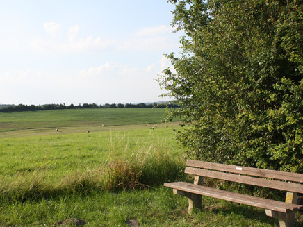
From the centre of the village in Longkamp the Hubertusweg starts through the "Schulstraße" to the Bürgerpark. After crossing Bürgerpark, turn left into Bernkasteler Straße and then right into "Am Hambuch". On the left side of the street, Hubertusweg turns into a dirt road. Follow the field path in a straight line for about 1.5 km before it turns into a meadow path. With the construction site of the B50 in view, turn left and you will reach an asphalt farm track. Here you turn right and pass the bridge which leads over the B50. Along woods and fields as well as an avenue of fruit trees you walk about 3 kilometres in the direction of Monzelfeld. On the way you will have views of the communities of Longkamp and Kommen, of the distant Moselle valley and finally of the village of Monzelfeld. The signposting leads you to the L 158 at the height of the "Schellhof". You cross the L 158, turn left and walk parallel to the classified road on a farm track. Then the path branches off to the "Birkenhof". You pass the farm and soon afterwards you walk through a forest. Over a meadow you will reach the B 269. On the opposite side of the road a path leads you into the forest. Then, at the edge of the forest, a rest area invites you to take a break. Continue through the forest and after several junctions you cross the B 269, the L 158 and the B 50 again. A resting place under birch trees invites you to take another break. At the entrance of Longkamp you will come across a small chapel where you pass the road. Passing the town hall of the municipality you reach the church, which is consecrated to St. Andrew. After about 200 m you reach the starting point at the village well.
Safety Guidelines
Watch out for traffic at the start in Longkamp.
Equipment
Sturdy shoes and rucksack food if necessary
Tip
At the Schellhof in Monzelfeld there is a milk house with a milk vending machine. There you can draw fresh milk around the clock!
Getting there
From Bernkastel in the direction of Tier, follow the B53 through Andel to Mülheim. There turn left onto the L158 in the direction of Mainz/Monzelfeld/Mülheim. Shortly before coming, take the third exit (B269) at the roundabout, then turn left onto the B50 to Longkamp.
Parking
Parking is available in the village of Longkamp. Andreasstraße; 54472 Longkamp
Public transit
Bernkastel-Kues: Taxi Edringer: (0049) 6531 - 8149, Taxi Priwitzer: (0049) 6531 - 96970, Taxi Reitz: (0049) 6531 - 6455
Literature
All hiking trails in the Bernkastel-Kues holiday region are available in the WanderGuide. This brochure is available at all tourist information offices in the Ferienland. Online: WanderGuide
Maps
WanderGuide - the hiking guide in the Bernkastel-Kues holiday region. With description and map.
Additional Information
Ferienland Bernkastel-Kues
Gestade 6
54470 Bernkastel-Kues
Phone: (0049) 6531/50019-0
Pavings
- Asphalt Coating (19%)
- Unknown (59%)
- Hiking Trail (12%)
- Path (10%)
Weather
This tour is presented by: Ferienland Bernkastel-Kues, Author: Lisa Willems
