Hunsrück-Mosel cycle path
- start: Büchenbeuren
- destination: Treis-Karden
- medium
- 58,80 km
- 5 hours
- 300 m
- 522 m
- 77 m
- 40 / 100
- 60 / 100
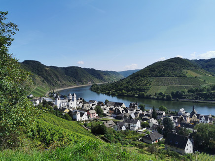
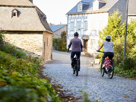
The Hunsrück-Mosel cycle path is an ideal cycling route over the Hunsrück heights into the Mosel valley. Due to parking options, it is recommended to start the route in Kastellaun.
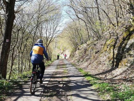
The Hunsrück-Mosel cycle path connects Büchenbeuren, the Hahn airport, and Kastellaun with the Mosel valley. The route over the Hunsrück requires short, moderate climbs that need only everyday cycling strength. Afterwards, it goes downhill to the Mosel. From here, you can continue cycling on the Mosel cycle path.
General information
Directions
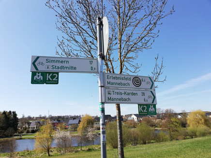
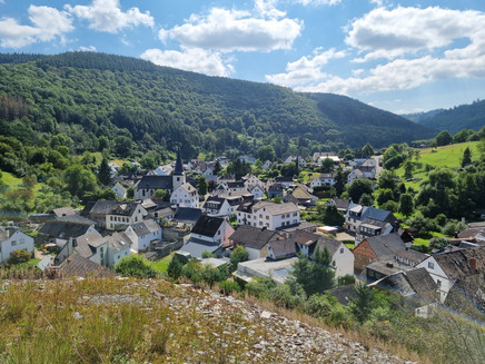
Initially, the western part of the route extends over the flattened Hunsrück heights along the watershed of Nahe and Mosel between Büchenbeuren and Kastellaun. Further on, a quiet, traffic-free connection leads from the Hunsrück to the Mosel. Partly in the valley, partly on the wide heights, the cycle path winds from Kastellaun through Mannebach, Sabershausen past Petershäuserhof to Lieg, where the rapid descent to Lütz in the Lützbachtal begins.
Safety Guidelines
Observe the traffic rules, pay attention to other road users and ride at an appropriate speed, especially on descents. Be considerate of other cyclists and pedestrians.
Equipment
- Helmet
- Mobile phone with full battery
- Cash, ID
- Navigation device, maps
- Air pump / compressed air cartridge
- Spare tube
- Adequate drinks
- Energy bars / gels
- Wind / rain jacket
Tip
Start the route in Kastellaun and follow the Hunsrück-Mosel cycle path for 30 km to Treis-Karden. Then take the Mosel cycle path for about 13 km to Brodenbach, from where the RadBus Hunsrück-Mosel will bring you back.
Getting there
B 327/50 (Hunsrückhöhenstraße) exit Büchenbeuren or via the Hunsrückhöhenstraße B 327 to Kastellaun.
Parking
Good parking options can be found at the old station in Kastellaun.
Public transit
Additional Information
Pavings
- Asphalt Coating (10%)
- Crushed Rock (45%)
- Street (32%)
- Path (1%)
- Hiking Trail (11%)
Weather
This tour is presented by: Hunsrück, Author: Iris Müller
