Lenus-Mars Trail
- start: Unter den Weinbergen, 56253 Treis-Karden
- destination: Am Goldberg, 56829 Pommern
- medium
- 4,80 km
- 1 hour 36 minutes
- 153 m
- 273 m
- 88 m
- 60 / 100
- 60 / 100
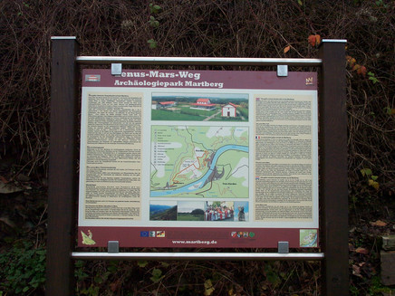
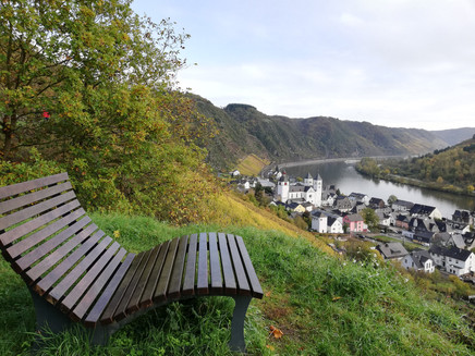
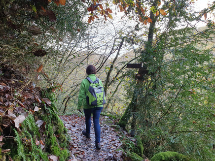
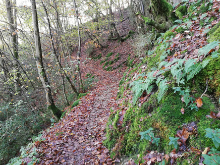
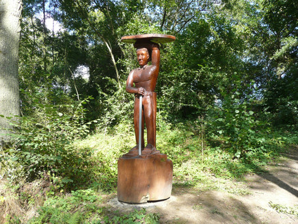
The Lenus-Mars hiking trail, with a length of 5.1 km, connects the towns of Karden and Pommern. Information boards provide interesting and informative facts about the excavations and settlement of the temple complex. Wood sculptures of Celtic warriors, a Roman woman, and late antique Castor accompany the ascent along the path. Information boards in Karden (at the end of the street "Unter den Weinbergen") and in Pommern (street "Am Goldberg") show a map of the trail route. Refreshment options are available in the towns.
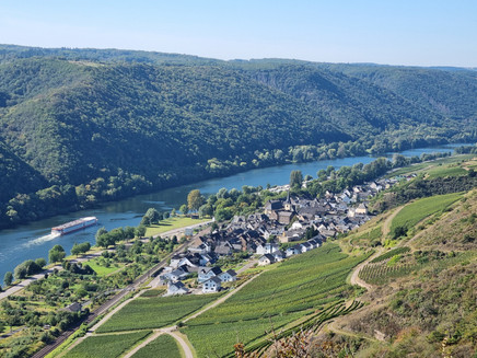
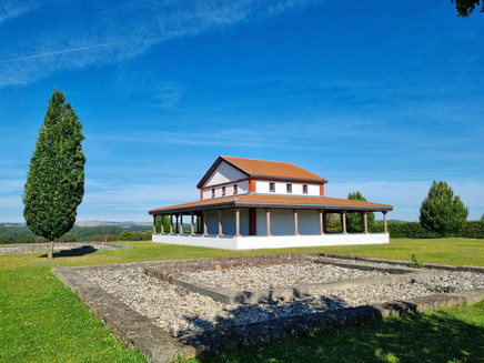
On the Martberg, between Pommern and Karden, about 180 m above the Mosel, there was a fortified Celtic large-town-like settlement (Oppidum). In the center of the settlement, a Gallo-Roman temple complex developed, where the eventful history of the Mosel region becomes visible in a merging process of Celts and Romans.
The sanctuary was dedicated to the god Lenus Mars, whose worship gives the Martberg its name.
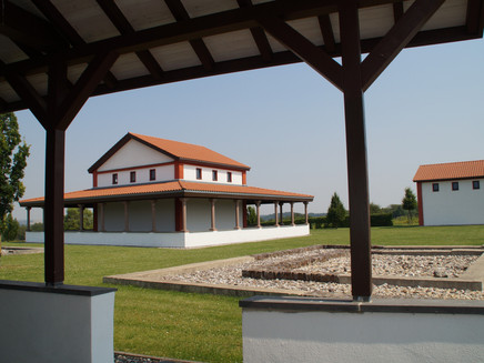
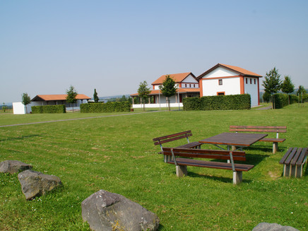
At the height of this cult site (around 200 AD), numerous temple buildings stood here. After years of excavations, parts of the temple complex were reconstructed. A guided tour of the temple complex, including a visit to the interior paintings of the main temple, is possible throughout the year.
Insights into the cult activities from 2000 years ago are also provided by the numerous finds, including thousands of Celtic and Roman coins, as well as weapons and jewelry. Individual finds are exhibited in the collegiate museum.
The temple complex and Lenus-Mars Trail are equipped with information boards that provide archaeological research results and reconstructions on the topics of the Celtic oppidum and the fortification system.
General information
Directions
Hiking Tips
Circular route between Karden-Pommern (9.5 km)
The hike leads from Karden via the Lenus-Mars Trail past the temple complex to Pommern. Here, an exhibition in the community center, Am Spilles, provides information about the excavation site and the findings. The route first follows the Lenus-Mars Trail, then continues to Fahrlei (a beautiful viewpoint) and along the Moselhöhenweg (a forest junction from the Lenus-Mars Trail) back to Karden. In Karden, the Celtic-Roman section in the collegiate museum displays the archaeological finds from Martberg.
This hike can also be started from Pommern.
From Pommern to Moselkern (20 km with a visit to Eltz Castle)
The hike begins in Pommern and leads along the Lenus-Mars Trail past the temple complex to Karden. Via St. Castor Street and Burg-Eltz Path, the hike continues on the boxwood hiking trail (surefootedness and sturdy footwear required) to Müden and further on to Moselkern. Here, there is the option to visit Eltz Castle in the Eltz valley (1-hour walk to the castle, see hiking map). From Moselkern, trains run hourly back to the starting point Pommern.
Equipment
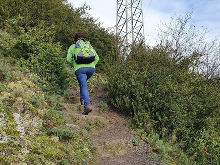
The hiking trail can be used year-round. Sturdy footwear is recommended.
Tip
A visit to the Gallo-Roman temple complex on Martberg near Pommern is worthwhile. Here you can also stop by the Martberg Café during opening hours.
Martberg opening hours: May to end of October, Saturday-Sunday, 11:00 am to 5:00 pm
Getting there
Treis-Karden and Pommern are accessible via federal roads B 49 and B 416.
Motorway exits:
Kaifenheim or Kaisersesch - A 48
Boppard - A 61
Parking
Free parking available next to the train station building in Karden and in Moselstraße in Treis or at the parking lot/Mosel forecourt in Pommern.
Public transit
Arrival to Treis-Karden and Pommern is possible by Deutsche Bahn from Koblenz and Trier directions.
Maps
Topographic hiking map Ferienland Cochem and Treis-Karden, scale 1:25,000, price €7.90 Topographic hiking map Moselsteig Zell-Koblenz, scale 1:25,000, price €5.90 Maps available at the Tourist Information office Treis-Karden.
Additional Information
Tourist Information Treis-Karden
St. Castor-Str. 87
56253 Treis-Karden
Tel. 0049 2672 - 9157700, Fax 0049 2672 - 9157696
Opening hours:
May-October: Mon-Fri 9:00 am-12:00 pm and 2:00 pm-5:00 pm, Sat 9:00 am-12:00 pm
November-April: Mon-Thu 9:00 am-12:00 pm and 2:00 pm-4:00 pm, Fri 9:00 am-1:00 pm
Pavings
- Hiking Trail (24%)
- Path (43%)
- Crushed Rock (34%)
Weather

This tour is presented by: Mosel. Faszination Urlaub, Author: Tourist-Information Treis-Karden
