Monzeler Hüttenkopfweg
- start: Bürgerhaus, Brunnenstraße 3, 54518 Osann-Monzel
- destination: Bürgerhaus, Brunnenstraße 3, 54518 Osann-Monzel
- 7,39 km
- 1 hour 40 minutes
- 254 m
- 416 m
- 193 m
- 40 / 100
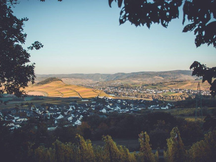
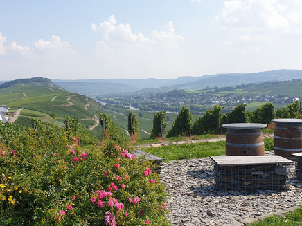
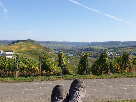
The hiking trail starts in the wine village of Osann-Monzel, which is located in a high valley 80 m above the Moselle. Due to its special location, various views of the Moselle valley await the hiker.
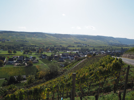
The starting point of the hike is the wine village Osann-Monzel. Its old vintner houses and charming half-timbered houses in the winding streets characterize it.
Insights into the hiking tour:
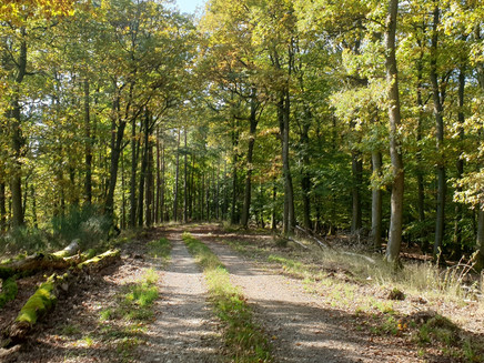
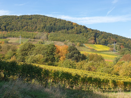
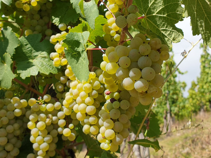
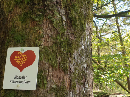
The starting point Osann-Monzel lies between the mountains Hüttenkopf and Rosenberg, in a side valley of the Moselle, through which a river loop of the Moselle flowed millions of years ago. Later, the Moselle carved a more direct course through the Rhenish Slate Mountains. From the Monzeler Hüttenkopfweg, one gains a good impression of this geological development. In these ancient river valleys and on the slopes of their surrounding hills, as well as along the current river course, successful viticulture is practiced. The Monzeler Hüttenkopf is the second highest elevation of the Moselle mountains at 423.4 m above sea level. A shady forest path leads uphill.
There are no catering options along the way, but plenty of nice rest opportunities.
General information
Directions
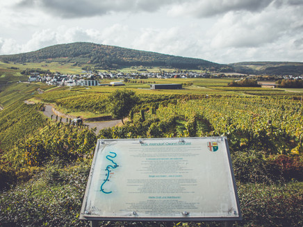
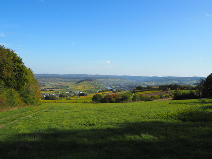
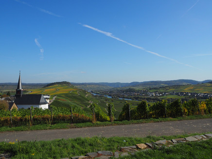
The start is at the Bürgerhaus Monzel. First, continue along Brunnenstraße until you reach the intersection with Hüttenkopfstraße. There, turn left towards meadows and forest. Then proceed parallel to the forest edge through an orchard area. You enter the forest and follow forest paths uphill to the Monzeler Hüttenkopf. Below the second highest peak of all Moselle mountains (423.4 m above sea level), you pass a large clearing offering views of the district town Wittlich and the Wittlicher Senke basin. However, the summit itself is forested. Going downhill, you follow an old cattle track above a disused quarry. This narrow path leads you downhill over tree roots and crosses a forest road. Then you cross an orchard meadow into the vineyards, where a beautiful view of the Moselle valley opens up. You descend through the vineyards to the outskirts of Monzel and then make a small detour to a rest area above the village church of St. Nicholas.
Safety Guidelines
No special safety instructions
Equipment
Sturdy footwear is recommended
Tip
At the end of the route, make a short stop at the rest area and enjoy the magnificent view of the Moselle valley from the sensory bench.
Getting there
Coming from Bernkastel, cross the bridge to Kues. Then follow the L47 towards Trier until past Lieser. There, turn right to stay on the L47 and follow the road to Osann-Monzel.
Parking
Parking facilities in the village
Public transit
Bernkastel-Kues: Taxi Edringer: 06531 - 8149, Taxi Priwitzer: 06531 - 96970, Taxi Reitz: 06531 - 6455
Nearest/primary stop: Noviand, Bernkasteler Straße
Literature
WanderGuide - the hiking guide in the Bernkastel-Kues holiday region. With description and map.
Maps
WanderGuide - the hiking guide in the Bernkastel-Kues holiday region. With description and map.
Additional Information
Bernkastel-Kues Holiday Region
Gestade 6
54470 Bernkastel-Kues
Tel.: 06531/50019-0
www.bernkastel.de
Tourist Information Osann-Monzel
Weinbergstraße 1
54518 Osann-Monzel
Tel.: 06535/949284
www.osann-monzel.de
Pavings
- Path (8%)
- Hiking Trail (71%)
- Unknown (12%)
- Asphalt Coating (7%)
- Crushed Rock (3%)
Weather

This tour is presented by: Ferienland Bernkastel-Kues, Author: Lisa Gerber
