Mosel-Camino Bullay - Zell (Mosel) - Traben-Trarbach
- start: D-56859 Bullay
- destination: D-56841 Traben-Trarbach
- difficult
- 23,44 km
- 7 hours 10 minutes
- 712 m
- 415 m
- 91 m
- 100 / 100
- 80 / 100
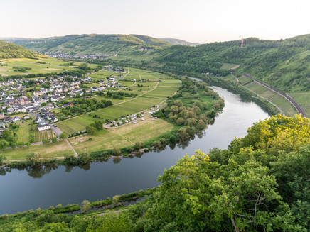
On the Jakobs pilgrim path through the Zellerland to Traben-Trarbach.
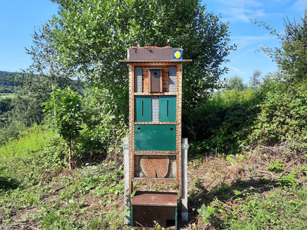
The 'Mosel-Camino', between Koblenz and Trier, is part of the pilgrimage route to Santiago de Compostela. Hikers can expect a unique wine culture landscape, surrounded by nature, castles, vineyards, and the romantic Mosel course. The yellow scallop shell on a blue background marks the entire pilgrimage and hiking path of almost 100 miles (with detours and sightseeing about 112 miles). The converging ribs of the shell point as an arrow in the direction of Trier.
General information
Directions
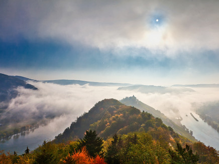
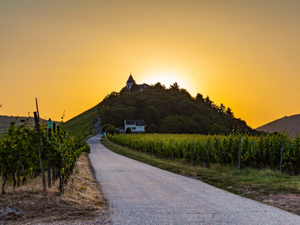
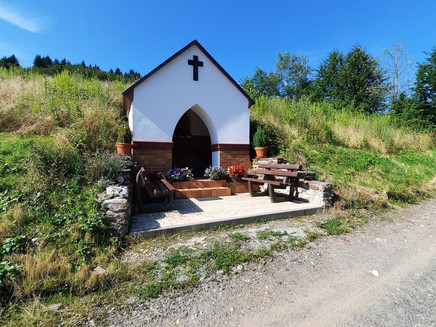
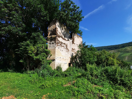
In Bullay, the Mosel side is crossed again. At the end of the double-deck bridge, turn left, then cross the street after a few meters and go up a switchback path to Marienburg (youth education center of the diocese with 'youth church') with a great view of Pünderich and other Mosel towns. Then head southeast to a street leading to the Zeller district of Barl. Follow this for about 100 m, then turn left and go straight ahead, past the ruin Marienthaler Hof, to Zell-Kaimt (detour to the parish church of St. Jakobus with a Jakobus keystone at the altar!). Cross a pedestrian bridge back to the right Mosel side to Zell. There, go through the town center (or along the Mosel riverbank) to the district of Notenau. At the roundabout, turn left onto Notenau street and at the end of the street turn right up into the forest. Pass the former water treading facility to the viewpoint "Beinter Kopf" (shelter) with a late Roman mountain sanctuary, then to the "Beautiful View" (shelter) and finally to Bummkopf. Here cross the K 52 and go through the forest, later through the vineyards, down to Enkirch (plan a tour). Then it goes uphill again to the „Rottenblick“ (shelter), from there on a magnificent panoramic path („Kirst“) to Starkenburg with the beautiful Protestant church. At the "Pavilion" the Camino leads left and, past the Bismarck Hut, to the ruin Grevenburg. From there follows the descent to Traben-Trarbach with its impressive Art Nouveau houses (pilgrim hostel „Alte Lateinschule“!)
Equipment
We recommend sturdy footwear.
Tip
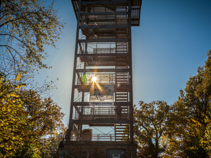
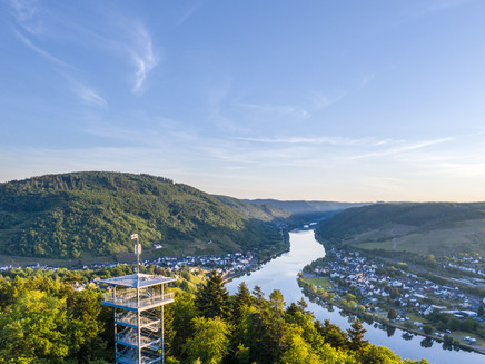
The lookout tower "Prinzenkopf" (about 10 minutes on foot from Marienburg) is considered one of the most beautiful viewpoints on the Mosel.
Getting there
Graf-Beisel-Str., 56859 Bullay
Parking
Parking options at the Bullay environmental station
Public transit
IC, RE or RB from Koblenz or Trier, about 300 meters on foot from Bullay station
Maps
Hiking map Zellerland
ISBN 978-3-944620-12-1
Available from Zeller Land Tourism GmbH
Balduinstr. 44
D-56856 Zell (Mosel)
Tel. +49 6542 9622-0
info@zellerland.de
www.zellerland.de
Mosel-Camino:
Additional Information
Weather

This tour is presented by: Zeller Land Tourismus GmbH
