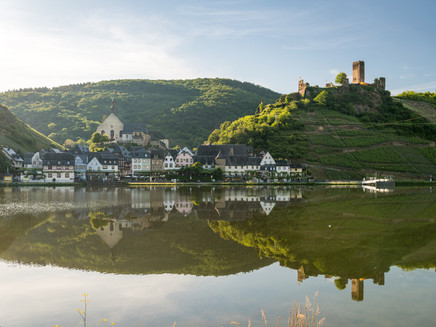
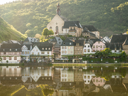
Moselle-Camino Treis-Karden - Beilstein - Bullay
- start: St. Castor Street, Treis-Karden
- destination: Bullay
- difficult
- 27,58 km
- 8 hours
- 795 m
- 433 m
- 79 m
- 100 / 100
- 80 / 100
Mosel valleys and Hunsrück heights on the Jacob's Pilgrimage Route.
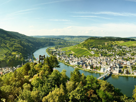
Experience and discover the diversity of the Mosel valley, pure nature, castles, vineyards and of course the romantic Mosel run. The 'Mosel Camino', between Koblenz and Trier, is part of the pilgrimage route to Santiago de Compostela. The yellow scallop shell on a blue background marks the pilgrimage and hiking trail, which is almost 160 km long (approx. 180 km with detours and visits). The converging ribs of the shell act as an arrow pointing the way to Trier.
General information
Directions
In Treis, turn right and walk along the main road to the end of the village. Below the Wildburg, the trail leads gradually uphill on bumpy ground to the Beurenkern. A few hundred metres after the Beurenhof, turn right into the Flaumbachtal valley. Soon you will see the Maria Engelport monastery. Continue through the forest uphill to the K 36; turn right there, 200m on the road, then turn left into the forest at the 'Schafstall' hut. Continue down to Beilstein with the Capuchin monastery church and Metternich ruins. Then a good stretch on the K 42 (asphalt road) and through the forest back up to the Hunsrück heights, where you soon come to the L 200. Cross this to reach the 'Alte Schanze' via a sunken path, then an open meadow path (with 'bee TV'). Cross the L 98 there and continue in a south-easterly direction to the chapel called 'Lindenhäuschen'. Continue along the road, then turn right into the forest at the 'Panoramhütte'. After about 1½ hours, you reach the Moselle valley again in Bullay.
Equipment
We recommend sturdy shoes
Tip
Once walking down the famous Heinz-Rühmann film stairs in Beilstein...
Getting there
St. Castor-Street, 56253 Treis-Karden
Parking
Parking at Treis-Karden train station - St. Castor Str. 89
Public transit
by train to Treis-Karden
Maps
Hiking map Zellerland
ISBN 978-3-944620-12-1
Zeller Land Tourism GmbH
Balduinstr. 44
D-56856 Zell (Mosel)
Tel. +49 6542 9622-0
info@zellerland.de
www.zellerland.de
Mosel Camino:
Weather
This tour is presented by: Zeller Land Tourismus GmbH
