Moselsteig Side Trail König-Johann-Runde
- start: Old city wall in the center, 54450 Freudenburg
- destination: Old town wall in the town centre, 54450 Freudenburg
- medium
- 11,85 km
- 4 hours
- 320 m
- 440 m
- 210 m
- 100 / 100
- 60 / 100
On the trail of medieval nobility.
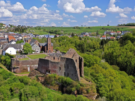
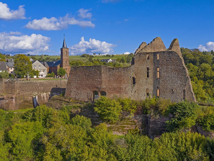
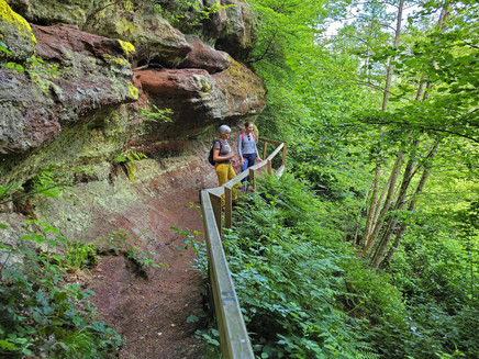
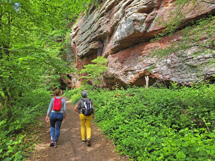
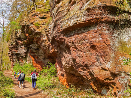
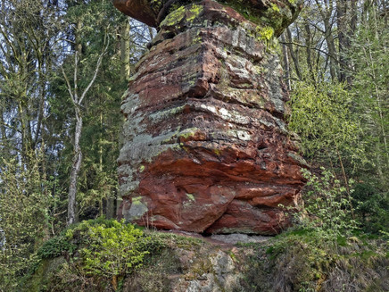
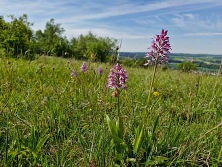
This Premium hiking trail (as certified by the German Hiking Institute) connects the historic castle complex in Freudenburg town centre with diverse landscapes, endless views, sandstone rocks and the Eiderberg nature conservation area. The 12-kilometre-long hiking trail takes its name from King John the Blind of Bohemia, the Earl of Luxemburg, who built a castle complex in Freudenburg in the 14th century. This varied hike begins and ends at the old town walls of Freudenburg. From there the trail leads on through a varied landscape with a number of viewpoints and vistas all the way to Luxemburg and France. Other highlights en route include the castle, which sits on imposing sandstone rocks, as well as Leukbachtal valley with its several small cascading waterfalls and historic mills. In the “Kollesleuker Schweiz” (Kollesleuken’s own little Switzerland, named after the beauty of the region), coloured sandstone rocks rise steeply in diverse forms and colours. Nature lovers can delight in rare orchids on the 440-metre high Eiderberg, which is a natural conservation area.
General information
Directions
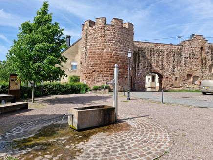
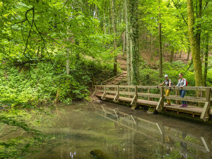
The König-Johann-Runde starts at Weiherplatz in Freudenburg. The starting point of the hike is at the restored town wall with a fountain and seating. After a short flight of steps downhill, you will immediately find yourself on a section of path surrounded by unspoilt nature. The path leads, always slightly downhill and uphill, past the rock face where the houses of the old town centre of Freudenburg are located. At the ruins of Freudenburg Castle, the hiking trail runs through the moat to the rest bench, where you can enjoy the first view of the Leuktal valley. Continue along the path to the top of the castle, then downhill to reach the valley by the Freudenburg stream. Here, at the new footbridge, a group of benches invites you to take a break.
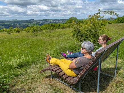
The next section of the trail leads at the same altitude through the Herrenwald forest to the barbecue hut, where you can take a break on the covered benches. After crossing Gartenstraße, the side trail leads back into the forest. After a sharp bend to the right, the route passes the Wenigbach stream, which has cut its bed deep into the rocks in this area. The beautiful path passage is only interrupted by the bridge over the Ewigbach. Just after the bridge, a panoramic view opens up over the Leuktal valley to the heights of the Saargau. A section of the trail begins here at the rest bench, where you pass through a wide variety of forest formations.
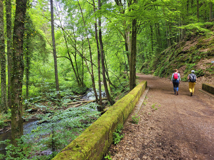
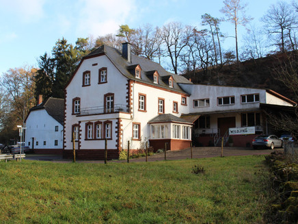
The stream on the left forms the border with Saarland. Initially at the same altitude, then downhill, the side trail leads down into the Leukbach valley. From the edge of the forest, you have a beautiful view of the imposing building of the lower Stegmühle mill. After crossing the road, past the refuge, the route runs through the romantic Leukbachtal valley. At the stone bridge, you should not miss a detour into the wild and romantic Ewigbach valley. The stream valley ends here after approx. 200 metres in an imposing rocky backdrop. Continuing slightly downhill, with the meadows of the Leuk stream on the left and the rock formations of the coloured sandstone on the right, the view of Kollesleuken opens up at Pilzfelsen. Through the meadow valley at the Herrenmühle mill over the Leuk, you reach the left bank of the stream. At the Herrenmühle mill, it is worth visiting the Wildling sales and collection centre. Here you can sample specialities made from apples, pears and the like. Wildling products include Kellvados matured in whisky barrels, apple and pear crackers, fine fruit brandies, pear secco, jellies and jams, apple cider vinegar matured in wooden barrels and other selected products from partners of the regional initiative "Ebbes von Hei!". You can find the opening hours at www.wildling-von-hei.de.
The path leads slightly uphill and downhill through beech forest and past rock formations. Footbridges have been built at various points between the Hackenberger Mühle mill pond and the rock faces. At the newly remodelled mill square in Kollesleuken, the decision to take a break will certainly be an easy one.
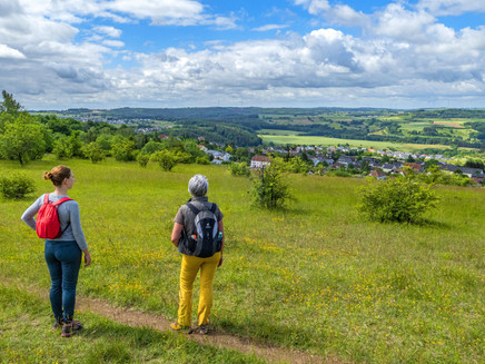
The path continues past the edge of the forest with beautiful views of the Leuk meadow valley. Now follows the first ascent of the trail. First along a forest track, then uphill on a path to the "Klingerheck" forest area. After a steady ascent through high beech forest, another section of path begins before you emerge from the forest and can enjoy the view at a rest area. Below the Eiderberg, you will reach the L 131, which you should cross with extreme caution.
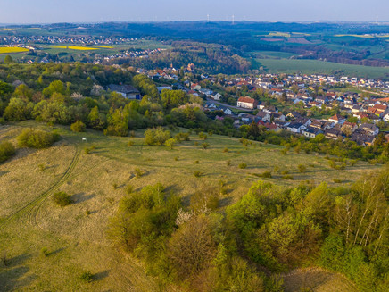
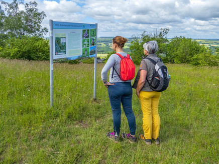
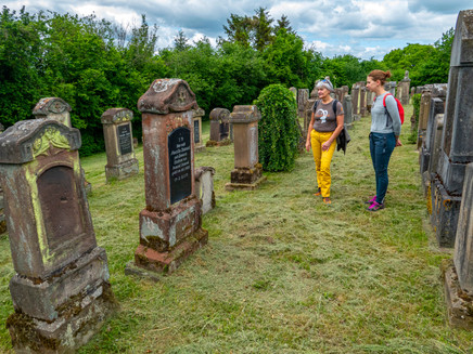
Initially past the edge of a hedge, with a marvellous panorama of the Saargau, the route now becomes really steep again. Here you are already in the Eiderberg nature reserve. You can admire rare plants on this section of the trail in early summer. The highest point of the Eiderberg is also the highest point of the hike on the König-Johann-Runde. From up here, you can enjoy a panoramic view that is probably unique. Views of the Saarland, the Saargau and across the Saar to the Osburger Hochwald forest open up here. Still in the nature reserve, the path leads past former quarries, now downhill to the village of Freudenburg. Past the Jewish cemetery and along Kelterplatz, it is only a few metres to the starting point at Weiherplatz.
Equipment
Please ensure you are wearing sturdy shoes and have packed sufficient provisions.
Tip
Don't miss a detour to the Ewigbach Valley!
Stop by the Wildling sales and pick-up station, which is located directly on the hiking trail, and sample specialities made from apples, pears & co.Opening hours: www.wildling-von-hei.de
Getting there
From Saarburg, take the B 407 to Trassem. Continue along the country road towards Freudenburg.
Parking
Free parking is available in the centre of Freudenburg.
Public transit
You can reach the town of Saarburg by train on the Saarbrücken-Trier railway line.
From there, bus routes 241 and 248 run at regular intervals to Freudenburg. There is no bus service on Sundays.
Information on current public transport timetables can be found at www.bahn.de or www.vrt-info.de.
Literature
Literature (only available in German):
"Moselsteig Side Hikes 1 - The most beautiful circular routes between Trier and Bernkastel-Kues" by ideemedia
Authors: Ulrike Poller, Wolfgang Todt, Publisher: ideemedia, 144 pages, Format: 11.0 x 16.4 cm, ISBN: 978-3-942779-59-3, 12.95 €
Additional Information
Saar-Obermosel Tourism e. V.
Saarstr. 1, 54329 Konz, Tel. 06501-6018040
Graf-Siegfried-Str. 32, 54439 Saarburg, Tel. 06581-995980,
https://www.facebook.com/saarobermosel
https://www.instagram.com/saarobermosel
https://www.youtube.com/channel/UCkcqfebcdiSYLAAj_qIxsBQ
Mosellandtouristik GmbH
Kordelweg 1, 54470 Bernkastel-Kues, Tel. 06531-97330
Pavings
- Path (52%)
- Hiking Trail (21%)
- Asphalt Coating (9%)
- Crushed Rock (16%)
- Street (2%)
Weather
This tour is presented by: Saar-Obermosel-Touristik e.V , Author: Saar-Obermosel-Touristik e.V.
