Moselsteig Side Trail Longuicher Sauerbrunnen
- start: Longuich, parking area at the roundabout "In den Kreuzfeldern"
- destination: Longuich, parking area at the roundabout "In den Kreuzfeldern"
- easy
- 12,62 km
- 3 hours 20 minutes
- 153 m
- 276 m
- 120 m
- 40 / 100
- 20 / 100
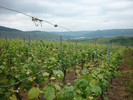
Vineyards, villas and spring water.
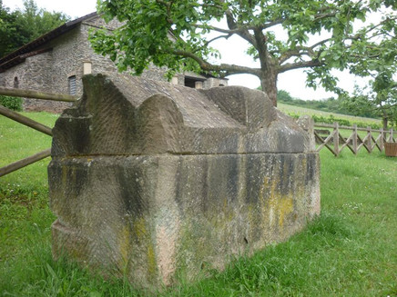
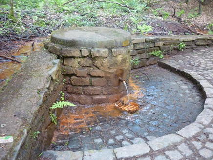
The Moselsteig Side Trail Longuicher Sauerbrunnen runs through a varied landscape of vineyards and cultural sites. The trail connects areas of tourist interest and offers many highlights: the Roman Villa Urbana, glorious views, a biotope with unique vegetation & rare animals, very old trees and of course, the eponymous Longuicher Sauerbrunnen, - a water spring enriched by the Devonian layers of the high forest, supplying carbonate mineral water rich in iron. The village of Longuich, rich in culture and steeped in history, with its attractive restaurant and accommodation offers, provides the perfect framework for this tour. Due to its close proximity to the Autobahn, high noise levels are likely in the first section of the trail from the Roman Villa Urbana to the entrance of the Longuich forest (approx. 1.2 km) depending on the wind direction.
General information
Directions
From the starting point at the large parking area, the Side Trail first runs through the road underpass. You can warm up a little walking on the flat meadow path. Soon you reach the path, which slowly winds uphill through the orchard. In the upper part, where vineyards accompany the path, your pass a water treading pool.At this point you already have a lovely view of the Roman villa Urbana surrounded by vineyards. Here, you should take the time to visit the partially reconstructed complex. Outside, the Roman building is accessible at all times. On Sundays, guided tours are offered which include the inside. The view from the villa of the Moselle Valley shows that the Romans chose a truly beautiful place for their living quarters.
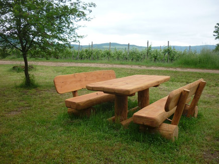
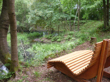
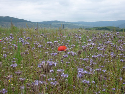
Directly next to the villa Urbana, the round trail continues as a steep path uphill and along the vineyard. The trail meets a vineyard path which continues to ascend and at its highest point, resting on a wooden lounger, you can enjoy the vast view of Longuich, the opposite vineyards and downstream of the Moselle Valley.To cross the motorway, the path briefly leads downhill. On 2 sides the pent up Longuich stream is passed. In the valley of the Longuich stream, you continue uphill. To the right and the left, you are treated to varied sites: vineyards, orchards, flower meadows with hedges, forest. At the hairpin bend you arrive at a pretty rest place on a meadow.
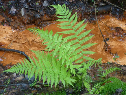
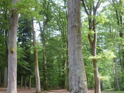
Here, you continue on a longer section into the forest. The first section runs briefly downhill until you cross the Kirscher stream, which you then continue to follow at a slight incline to its source. The trees to the right and the left of the soft forest path become increasingly impressive. The path arrives at a mountain hut. Here, enormous tree veterans and the rest areas under leafy canopies invite you to an extended break. As a refreshment, you can drink the water from the Sauerbrunnen fountain which is just a few metres away. The water is rich in iron and colours the environment rusty-red after coming in contact with air. It's a little difficult to leave the beautiful nature, where only the chirping of birds "disturb" the peace.
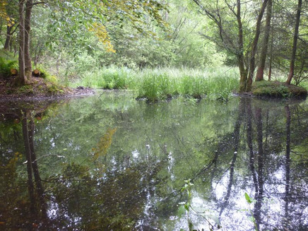
The further trail leads over paths with soft forest floors, the slope is barely noticeable. The subsequent forest path takes the Side Trail along the edge of the forest. You have a view of the fields and orchard meadow to the nearby Sang-Neuhaus. You need to pay a little attention as to not miss the turn-off from the forest path to a beautiful wooded path. After passing the small forest, you reach the asphalt road, which you cross directly. From here you have an expansive distant view to the north. The ridge of the Meulenwald and the Zeugenberge of the Buntsandstein in the Wittlicher Senke shape the horizon. A path now leads parallel away from the edge of the forest, first a little steep, then at a moderate decline. The bent branches of the large beech trees have formed a green roof over the path. Shortly thereafter the path arrives at a small forest pond: A good place to rest or enjoy the idyllic nature on a wooden lounger.
After a short distance you reach a large meadow on the plateau. The view extends over the Moselle Valley vineyards right to the mountain tops of the Hunsrück. Also, the adjoining vineyard path runs on the same height for a good section. To the right, above the vineyards, the view extends to the Moselle Valley, and to the left alternately accompanied by forest, fields or meadows populated with fruit trees. The circular route leaves the vineyard path and now continues slightly downhill along the edge of the forest. After a last meadow orchard the Side Trail runs over the slope edge and leads as an earthy path in serpentines steeply down the slope. Two subways lead you to the outskirts of Longuich-Kirsch. Continue through winding alleys towards the Moselle. The Moselbahnstraße, which crosses the Side Trail, runs exactly along the route of the former Moselle railway, also known as "Saufbähnchen". For about 800m the path now runs along the banks of the Moselle. On the opposite side of the Moselle you can see the steep vineyard terraces of the Longuich and Schweich vineyards. High up on the edge of the forest is the Moselsteig Trail stage from Schweich to Mehring. This stage is a lovely hike to experience the great landscape from a different perspective. At a right angle, the path now turns towards the village. On a quiet road through Longuich the starting point at the parking area is quickly reached.
Equipment
Sturdy shoes recommended.
Tip
In der Nähe des Start-Zielportals befinden sich einige Einkehrmöglichkeiten.
Getting there
A 602/A1, AS Longuich, then via the L 145 direction Longuich-Kirsch or Villa Urbana
Parking
large parking area (passenger parking) directly at the starting point at the roundabout
Public transit
Bus line 333 (Schweich (school centre) – Fell), stop Longuich, cemetery (from the stop it's about 300 metres along the Cerisierstraße to the starting point at the roundabout) or stop Longuich-Kirsch, Trierer Straße (also 300 metres from the stop to the starting point at the roundabout)
Literature
Literature (only available in German):
"Seitensprünge" Band 1 - 10 Premium-Rundwanderungen von Trier bis Bernkastel-Kues von ideemedia
Authors: Ulrike Poller, Wolfgang Todt, Publisher: ideemedia, 114 pages, Format: 11,0 x 16,4 cm, ISBN: 978-3-942779-59-3, 12,95 €
Maps
Leisure Map Moselsteig Trail – Map 2: Trier - Zell (Moselle) (Stages 5 - 14), ISBN: 978-3-89637-420-2
Additional Information
Mosellandtouristik GmbH
Kordelweg 1, 54470 Bernkastel-Kues; Phone: +49 (6531) / 97330
Tourist information office Römische Weinstraße
Brückenstraße 46, 54338 Schweich; Phone: +49 (6502) / 9338-0
Pavings
- Asphalt Coating (13%)
- Hiking Trail (34%)
- Path (37%)
- Crushed Rock (16%)
Weather

This tour is presented by: Verein Römische Weinstraße e.V., Author: Mosellandtouristik GmbH
