Moselsteig Stage 01: Perl – Palzem
- start: Perl: Maimühle, right next to the train station
- destination: Palzem: Train station
- difficult
- 23,75 km
- 7 hours
- 412 m
- 380 m
- 145 m
- 60 / 100
- 80 / 100
On the way in the best neighborhood.
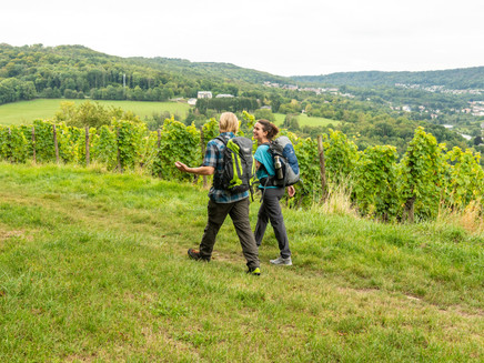
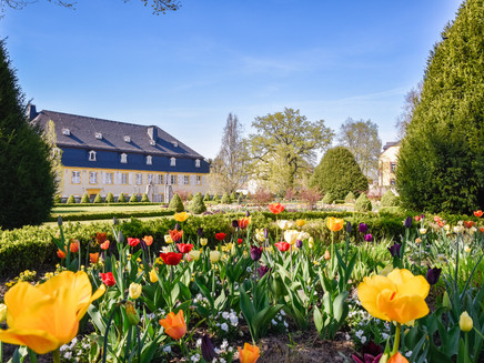
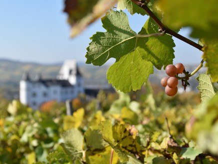
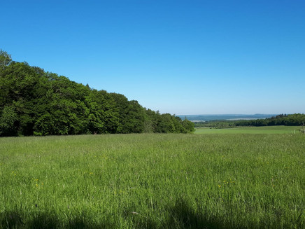
The starting stage – or naturally also the finishing stage – of the Moselsteig impresses with its proximity to nature, open landscapes and an exclusive three-country view extending to Luxembourg and France. The landscape continuously changes and offers, as a contrast to the vine-covered Mosel valley, rustic forests and the extensive fields of the Saar region – in early summer complemented by a blossom spectacle of wild orchids. Remarkable on this section are also the so-called dolines, karst sinkholes close to the path, which impressively demonstrate that the landscape here is mainly shaped from limestone. With Perl and Palzem, two charming stage destinations await the hiker – one still in Saarland, the other already in Rhineland-Palatinate.
General information
Directions
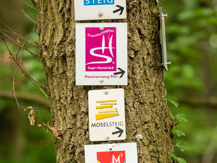
The first stage of the Moselsteig starts at the Maimühle, just a few steps from Perl train station. Over the next 6 km, the Moselsteig is accompanied – with small interruptions – by the Saar-Hunsrück-Steig. You begin through the grounds of the Maimühle to Bahnhofstraße and after crossing continue on a path to the roundabout. Very quickly, you leave the traffic noise behind and ascend through meadows and past fruit trees to the outer residential areas of Perl.
Over quiet residential streets and further uphill, the Moselsteig leads to its official starting point and the first highlight of this section: the Three-Country View. Here you can stand simultaneously in two countries (Germany and France) and enjoy the view! And Luxembourg on the opposite Moselle side is within arm’s reach. The following section is a true border path. The many border stones clearly show how the Moselsteig meanders here between Germany and France. The path repeatedly offers beautiful views into France, and plant lovers can admire orchids here in summer. This quickly makes you forget the effort on the steeply ascending path. Once at the top, you reach the shelter at Hammelsberg. A nice resting place to review the first impressions once again.
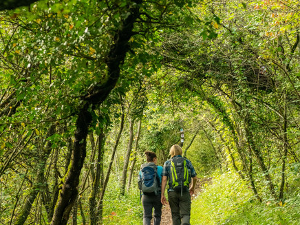
The next section demands less stamina. Either flat or slightly descending, the Moselsteig mostly leads as a path through a forest dominated by pines. Upon reaching the forest edge, you go uphill again. The path leads through hedges and shrubs and runs along the slope after a long and steep staircase. A viewpoint opens the view to the west: over Perl and far into Luxembourg. The hedges have given way to trees, and once on the heights, the path winds through a dreamlike beech high forest with mighty trunks. Leaving the forest on an asphalt path, you hike over a meadow and field island past a row of fruit trees to the other forest edge. The Moselsteig now follows this and leads over a meadow path to a covered resting place. A great place to pause in the middle of nature!
Then you proceed along an old fruit tree row back into the forest. Soon you reach the B 407, which the Moselsteig crosses directly. (Those wanting to shorten the route can also start the stage here at the Rabüscheck parking lot.) You now hike steeply down into the Pfaffenbach valley. At this point the Saar-Hunsrück-Steig officially diverges from the Moselsteig. The Moselsteig continues down the valley on a forest track. On this stretch, you make good progress easily with a slight descent. At the forest edge, the path also passes under the motorway, which runs here over a high bridge. A short stretch along the country road, then it goes on a field path to the forest edge on the opposite side of the valley. The path now climbs slightly, passing scattered orchards, the Moselsteig now reaches the outskirts of Wochern. Along Nikolausstraße you head downhill into the village center at the church. The pretty square away from the main traffic street is also a good spot for a short break!
After a few meters, you have already left the small village again and walk through meadows with fruit trees, through fields and small woods. At the crossing of the country road to Tettingen, just a few hundred meters away rest the remains of the Westwall defense structures: interested in a short visit? On the other side of the road you head straight back into the forest. After crossing a small valley there, the path reaches the outskirts of Tettingen. You cross the country road and continue at a leisurely up and down pace through the grazing area past the Wingerthof. On an asphalt road downhill, you reach the forest edge and then enter the forest again on the Moselsteig.
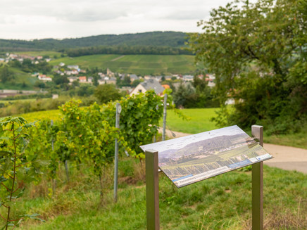
At a scattered orchard, a sign informs about a geological peculiarity of the region. The exposed limestone here shows the typical karst features. A little hidden in the forest is a doline. Let yourself be lulled by the bench placed next to it at the forest edge and enjoy the view far into the west towards Luxembourg. Uphill, the path then passes the access roads to Sinz (good bus connections) and to Nennig (train station) with its unique Roman mosaic.
Once on the heights, the Moselsteig soon reaches a federal road, which you cross in a straight line. Further on, through the forest, at the forest edge you pass the Lonnenbach. The Moselsteig now accompanies the course of the stream for a bit and then gently rises to the forest edge, which you now follow for a longer stretch. After crossing a small asphalt road, you pass the flat ridge. While the view was previously only open to the south, the path now completely leaves the forest at a resting place. Now your gaze can also roam westwards into the Mosel valley! Upon arrival in Palzem, you can experience a special attraction with the help of the free ARGO app. Discover the Roman bridge with its Celtic predecessor Palzem in its original appearance. For this, download the free ARGO app and access an augmented reality application via your smartphone or tablet, which shows you the original structure as if it were still standing unchanged in its place. The free app and further information about the Roman bridge can be found at www.ar-route.eu.
Equipment
- sturdy footwear
- weather-appropriate, practical hiking clothing
- packed meals in backpack
Tip
Treat yourself to a few moments at the village square of Wochern. Around the square with the renatured stream stand lovingly renovated old farmhouses. Especially the elaborate old wooden doors deserve much attention.
Getting there
Starting point: Perl A 8 (AS Perl) or via the B 419
End point: Palzem via the B 419
Parking
Perl: At the train station
Three-Country Corner / Hammelsberg: At the starting point of the main Moselsteig trail, only a few places are available.
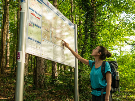
Palzem: At the square with the Moselsteig information board in Bahnhofstraße, several places are available.
Public transit
You can reach the stage locations Perl (train station) as well as Palzem (train station) by train (RB 82).
There are regular connections. Please note that during school holidays in Rhineland-Palatinate / Saarland, on weekends as well as on public holidays, there may be timetable restrictions! Please consult the current daily travel times from the timetable information on the website of the Trier Regional Transport Association (VRT):
Literature
"Moselsteig" - Official Moselsteig Hiking Guide by ideemedia, €14.95
Authors: Ulrike Poller, Wolfgang Todt, Publisher: ideemedia, 300 pages with almost 300 pictures, elevation profiles, QR codes and GPS tracks, format 11.5 x 23 cm, ISBN: 978-3-942779-21-0, €14.95
"Official Moselsteig Hiking Maps" in Pocket Format:
The entire route is divided into 3 maps:
Leisure Map Moselsteig - Map 1: Perl - Trier (Stages 1 - 4), ISBN: 978-3-89637-419-6
Leisure Map Moselsteig - Map 2: Trier - Zell (Mosel) (Stages 5 - 14), ISBN: 978-3-89637-420-2
Leisure Map Moselsteig - Map 3: Zell (Mosel) - Koblenz (Stages 15 - 24), ISBN: 978-3-89637-421-9
Single map: €5.90
Maps in a 3-set: €14.50 (ISBN: 978-3-89637422-6)
"Premium Set"
Premium set, consisting of the official hiking guide including 3-map set, publisher: ideemedia, ISBN: 978-3-942779-24-1, €26.95
The hiking guides and maps are available in bookstores or on the website https://www.visitmosel.de/wandern/service-infos-tipps under the category "Brochure Order".
Maps
Leisure Map Moselsteig - Map 1: Perl - Trier (Stages 1 - 4), ISBN: 978-3-89637-419-6
Additional Information
Mosellandtouristik GmbH
Kordelweg 1, 54470 Bernkastel-Kues; Phone: +49 (0)6531/97330
Tourist Information of the municipality of Perl
Trierer Straße 28, 66706 Perl; Phone: +49 (0)6867/660
Saar-Obermosel-Touristik e. V.
Graf-Siegfried-Straße 32, 54439 Saarburg; Phone: +49 (0)6581/995980
Weather

This tour is presented by: Mosel. Faszination Urlaub, Author: Mosellandtouristik GmbH
