Nittel Wine Experience Trail
- start: Im Stolzenwingert, 54453 Nittel
- destination: Im Blümchen, 54453 Nittel
- medium
- 1,60 km
- 45 minutes
- 53 m
- 210 m
- 157 m
- 100 / 100
- 40 / 100
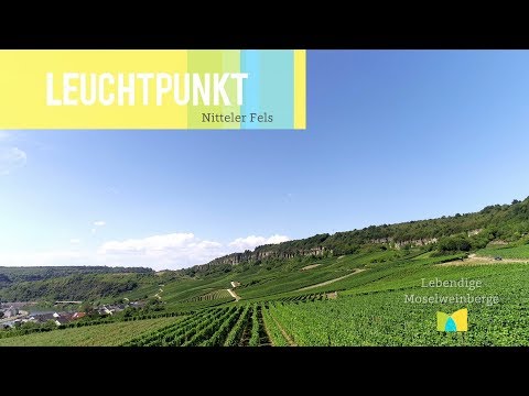
Learn more about the wine culture on the Upper Moselle during a walk through the well-known vineyard "Nitteler Leiterchen".
If you want to learn more about wine, we recommend a leisurely walk along the Nittel wine educational trail.
At several information boards, you will receive vivid information about the cultivation and growth of Elbling and the work in the vineyard.
Of course, finishing with a visit to a wine tavern or seasonal wine bar is part of the experience!


General information
Directions
Im Stolzenwingert - turn onto the vineyard path at the village exit - turn right at the next intersection - uphill - at the following intersection turn left - uphill - at the next intersection turn right - downhill - straight ahead to L135/Im Blümchen
Follow the red information boards 1 - 15!
Every year on the Saturday before Easter, the event "Experience and Enjoyment in the Nittel Wine Educational Trail" takes place, popular especially among wine lovers. A pleasurable walk through the wine educational trail. At several stations, the Nittel winemakers present their wines and sparkling wines. Several food stalls with culinary delights ensure your physical well-being.
Tip
Please note that this hiking trail is not a certified premium trail and there is no continuous signage of the route. Furthermore, the path partly runs on paved farm roads and not on narrow trails.
Getting there
You can reach Nittel via B 419 or L 135.
Parking
Free parking is available at the Nittel station (intersection Weinstr./ B 419). From there, walk about 5 minutes to the starting point of the wine educational trail (cross B 419 - Schneidergasse - Moselstr. - Kirchenweg - turn left into Im Stolzenwingert street - shortly before the village end the wine educational trail begins on the right side)
Public transit
Train: Take the Wittlich - Trier - Perl line to Nittel station. From there, walk about 5 minutes to the starting point of the wine educational trail (cross B 419 - Schneidergasse - Moselstr. - Kirchenweg - turn left into Im Stolzenwingert street - shortly before the village end the wine educational trail begins on the right side)
Information on current bus schedules is available at: www.vrt-info.de/busnetz
Maps
The topographic hiking map "Hiking Area Mosel - Saar and Upper Moselle" at a scale of 1:25000 is recommended.
You can also obtain this from Saar-Obermosel-Touristik in Konz (Saarstr. 1).
Additional Information
Saar-Obermosel-Touristik, Tourist Information Saarburg, Graf-Siegfried-Str. 32, 54439 Saarburg, Tel. 06581-995980
Saar-Obermosel-Touristik, Tourist Information Konz, Saarstr. 1, 54329 Konz, Tel. 06501-6018040
E-mail: info@saar-obermosel.de
Visit our website with exclusive tips and information on the Saar-Upper Moselle holiday region:
https://www.saar-obermosel.de/
https://www.facebook.com/saarobermosel
https://www.instagram.com/saarobermosel
https://www.youtube.com/channel/UCkcqfebcdiSYLAAj_qIxsBQ
Pavings
- Crushed Rock (78%)
- Hiking Trail (22%)
Weather


This tour is presented by: Saar-Obermosel-Touristik e.V , Author: Saar-Obermosel-Touristik e.V.