Romantic tour - access route on the Moselsteig Trail from Saarburg to Konz
- start: Saarburg, Tourist Office, Graf-siegfried-Straße 32
- destination: Konz, Tourist Office, Saarstraße 1
- difficult
- 20,70 km
- 6 hours
- 361 m
- 339 m
- 128 m
- 100 / 100
- 80 / 100
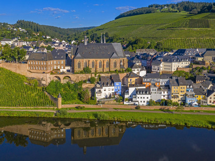
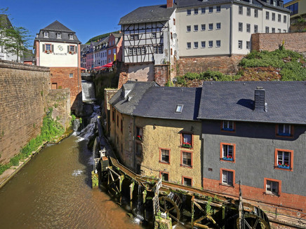
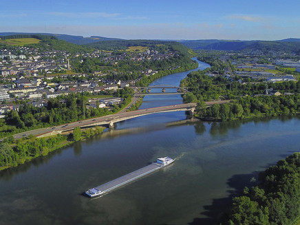
The hike leads from Saarburg on the Moselsteig Trail access route via Mannebach and Tawern, continuing on the main route of the Moselsteig Trail via Wasserliesch to Konz.
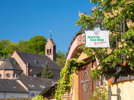
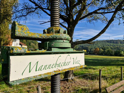
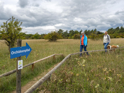
The hike on the Moselsteig Access Trail begins in Saarburg and initially leads towards the ‘Kunoweiher’. The route continues along the Engelbach stream past the bird of prey park to Mannebach. Here you pass the Riedhof farm and continue through the romantic Mannebachtal valley to Tawern. The access route continues in the direction of Fellericher Mühle to Rosenberg. Here you meet the main route of the Moselsteig Trail and follow the path over the panoramic Löschemer Plateau down to Konz.
General information
Directions
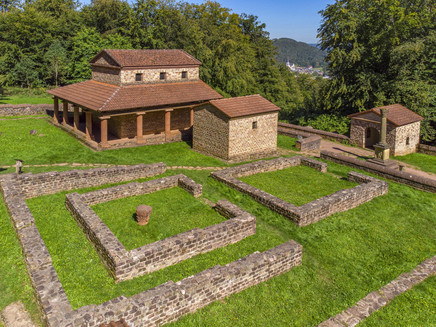
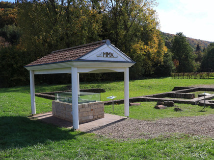
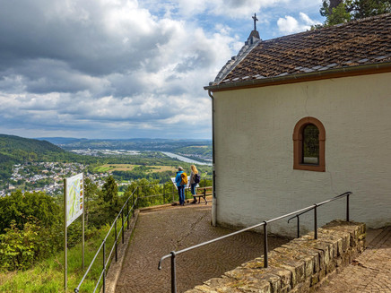
Saarburg - Kunoweiher - Engelbach - Birds of Prey Park - Mannebach (brewery) - Mannebachtal - Tawern barbecue hut - Tawern (Roman temple site) - Fellericher Mühle - Rosenberg - Moselsteig Löschemer Kapelle - Wasserliesch - mouth of the Saarmündung - Konz.
Safety Guidelines
Please note that there are few places to stop for refreshments on the route from Saarburg to Konz. Sufficient rucksack provisions are therefore recommended.
Equipment
Sturdy footwear and sufficient rucksack provisions are recommended.
Tip
The Moselsteig Trail access routes Palzem - Saarburg and Saarburg - Konz combined with the Moselsteig Trail stages 2+3 result in a varied 4-day round trip!
Getting there
Saarburg can be reached via the B 51.
Parking
Free and all-day parking is available near the swimming pool/at the city car park and in the car park opposite the entrance to the REWE supermarket.
Further paid parking facilities are located directly at the railway station in Saarburg.
Public transit
Saarburg and Konz can be reached via the DB Saarbrücken - Trier line. You can also reach Konz via the DB Perl - Trier - Wittlich line.
Information on current public transport timetables can be found at www.bahn.de or www.vrt-info.de.
Literature
Tips and information as well as free brochures and maps of the Saar-Obermosel holiday region are available from Saar-Obermosel-Touristik at the tourist information offices in Konz (Tel. 06501-6018040) and Saarburg (Tel. 06581-995980).
Or order the desired brochures directly in our online brochure shop.
Maps
The leisure map Moselsteig - Map 1 from Perl to Trier (stages 1 - 4) at a scale of 1 : 25,000 is available for €5.90 from Saar-Obermosel-Touristik at the tourist information centres in Konz and Saarburg.
You can also order the map directly from our online brochure shop.
Additional Information
Saar-Obermosel-Touristik, Tourist-Information Saarburg, Graf-Siegfried-Str. 32, 54439 Saarburg, Tel. 06581-995980
Saar-Obermosel-Touristik, Tourist-Information Konz, Saarstr. 1, 54329 Konz, Tel. 06501-6018040
E-mail: info@saar-obermosel.de
Visit our website for exclusive tips and information about the Saar-Obermosel holiday region:
https://www.saar-obermosel.de/
https://www.facebook.com/saarobermosel
Pavings
- Street (9%)
- Path (14%)
- Hiking Trail (49%)
- Crushed Rock (22%)
- Asphalt Coating (6%)
Weather
This tour is presented by: Saar-Obermosel-Touristik e.V , Author: Saar-Obermosel-Touristik e.V.
