Ruwer Riesling Experience Trail
- start: Mertesdorf Grünhaus
- destination: Mertesdorf Grünhaus
- medium
- 8,17 km
- 2 hours 30 minutes
- 228 m
- 252 m
- 133 m
- 80 / 100
- 60 / 100
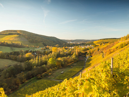
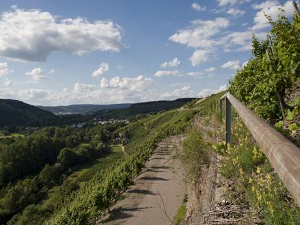
Established in 2021, the Ruwer Riesling Experience Trail offers nature and wine lovers versatile insights into the wine cultural landscape and diverse views over 8.2 km.
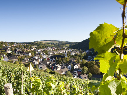
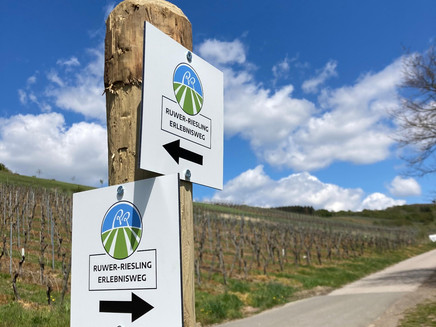
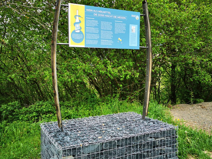
The Ruwer Riesling Experience Trail offers nature and wine lovers versatile insights and diverse views. At a total of 10 stations, you can expect entertainingly packaged backgrounds on viticulture, flora and fauna, history, geology, culture, and much more. The circular route is signposted in both directions. Depending on time, fitness, weather, or mood, it can be shortened in Kasel (the shortcut is signposted). The path is designed to be barrier-free, contains only a few climbs, and is therefore suitable for visitors of almost all age groups. At numerous seating and rest areas, various views of the Ruwer valley can be enjoyed.
The route is also suitable for families with children as it runs almost exclusively on paved paths and there is much to discover for children along the route. The playground in Kasel offers a perfect spot to take a break.
General information
Directions
The trail starts at the entrance to Mertesdorf. Sufficient parking spaces can be found about 100 m further on the left side near the Ruwertal outdoor pool. Alternatively, the circular route can also be started in Waldrach or Kasel. In Waldrach, it is recommended to park at the family center / Kegelbungert in the village center and then follow the signs. In Kasel, parking is available opposite the village square / main street and the route to the village center is also signposted here.
In all variants, it is possible to walk the route in both directions.
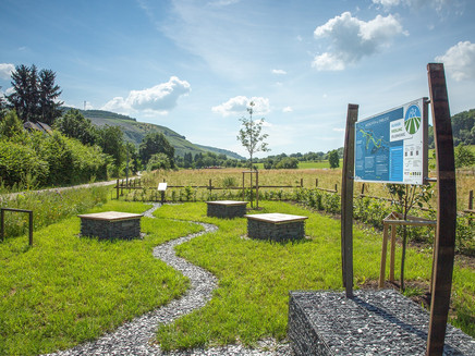
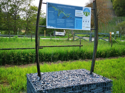
If we choose to start in Mertesdorf, we find the start panel here with all useful information about the route, a vineyard map, and information about the nearby Grünhaus castle. If we then follow the route clockwise, we have our first and almost only steep climb right in front of us. We follow the main street, then Gartenstraße into the street "Auf Krein" and arrive at Lorenzberg in the vineyard "Mertesdorfer Herrenberg". At the first rest area, there are information boards on the topics "Formation of the Ruwer Valley" and "Terroir - Influences between Heaven & Earth". Further on towards the vineyard "Kaseler Nies'chen", passing the rest area with information on biodiversity in the wine cultural landscape and the Hitzlay hut with interesting facts about Ruwer Riesling.
Arriving in Kasel, the path can now continue towards the sports field or you can choose the short variant. However, it is definitely worth following the path further because after a few meters it goes along the life tower to the station of vine training forms, which are clearly shown here. Through the village, we follow the signs to the vineyard "Kaseler Kehrnagel". Here the path leads towards Waldrach, passing the stations with information on habitat aids and land consolidation, which made this route possible. In Waldrach above the cemetery, the theme "Wine & Religion" is examined in more detail and at Dr. Hammes Platz the connection between wine & health is discussed.
Further on towards Kasel back into the village of Kasel. From here, the path continues onto the lowest vineyard path towards Lorenzhof/Karlsmühle. Information about the waters of the Ruwer and the Roman period can be found on this section. The last stretch leads about 100 m along the Ruwer-Hochwald cycle path back to the starting point in Mertesdorf.
Safety Guidelines
The path is mostly asphalted. Please note that there is no winter service available in case of ice & slippery conditions.
Equipment
No special equipment required.
Tip
Enjoy the view at the Hitzlay hut between Mertesdorf and Kasel and plan a short break here.
Getting there
Coming from Trier, enter the Ruwer valley via L149 to Mertesdorf. Coming from BAB 602, exit Kenn to Trier-Ruwer and then via L149 to Mertesdorf.
Parking
Free parking at the parking lot of the Ruwertal outdoor pool (49°46'21.0"N 6°43'15.4"E). Alternatively, at the entrance in Waldrach, parking lot at the family center/Kegelbungert (49°44'58.5"N 6°44'32.7"E) or at the entrance in Kasel parking lot main street/village square (49°45'45.3"N 6°43'37.2"E)
Public transit
www.vrt-info.de
Stadtwerke Trier Verkehrs GmbH lines 30 and 86
Additional Information
Combine the hike on the trail with a wine tasting at one of the many winemakers in the wine-growing communities along the path or explore the trail on a guided tour with a cultural and wine ambassador. You can find information about this at the Ruwer Tourist Information at https://www.ruwer-hochwald.de/weingenuss/ruwer-riesling-erleben/
Pavings
- Asphalt Coating (66%)
- Street (24%)
- Hiking Trail (2%)
- Crushed Rock (8%)
Weather

This tour is presented by: Mosel. Faszination Urlaub, Author: Touristinformation Ruwer
