Slate Mine Trail in Lütz
- start: Moselstraße, 56290 Lütz
- destination: Moselstraße, 56290 Lütz
- medium
- 6,40 km
- 2 hours 2 minutes
- 159 m
- 291 m
- 135 m
- 60 / 100
- 60 / 100
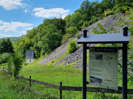
Slate Mine Trail in Lütz Welcome and good luck! Experience the history of the Lütz roofing slate mining in one of the most beautiful side valleys of the Moselle. Slate mining once played an important role here. Underground mining for roofing slate probably began in the mid-19th century and reached its peak between 1900 and 1910.
In Lütz there were eleven mines - Westfalia, Herrnfeld, Rechtenberg, Weinsberg, Rudolfsglück, Wolf/Mosella/Luise, Burgberg, Burgwiese, Himmel, Philippsberg and Glückauf - with 19 adits as well as five trial adits.
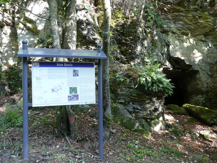
The Herrnfeld mine (formerly Westfalia) with the central adit "Erna" was in operation the longest (1953). The tunnel system of the longest mine "Mosella" was approximately 600 m long in total. The chambers reached heights of up to 30 meters.
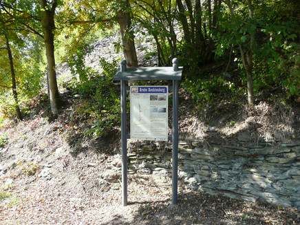
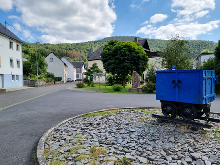
Based on the "mine plan" (= ground plan of the mine, see info board at the village entrance, Moselstr.) you can get an idea of the size and complexity of the respective tunnel system. The mentioned tunnel systems here were situated on three levels above each other and were several hundred meters long.
For safety reasons and to protect the bats wintering here, all tunnels are closed with a grate. However, the mine systems are depicted on the information boards.
General information
Directions
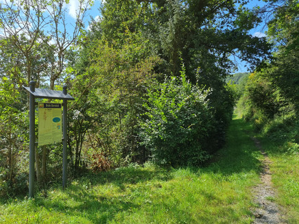
The information board in Lütz (Moselstraße, at the village entrance) shows plans of the tunnel systems as well as a map of the route. From here the path leads along Moselstr. and continues through Herrengrabenstraße. At the end of the street begins the slate mine trail, which can be walked in both directions.
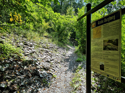
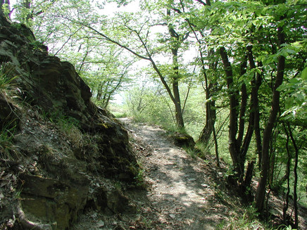
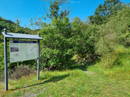
14 exhibition and information boards along the 7 km circular route display mine plans and lots of interesting facts about slate mining and the nature of Lütz. Sunny warm sections, such as the "Wingert", where wine was grown until about 100 years ago, alternate with cooler forest paths.
Learn about the era of roofing slate mining along the numerous slate mines and adits.
Places to eat can be found in the village.
Hiking tips:
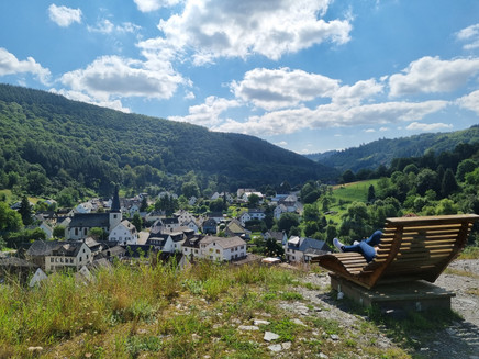
Hauslay From the Florianshütte a narrow path leads over the ridge to the Hauslay ("flag") with a magnificent view into the Lützbachtal. From here a partly steep path leads down to Moselstraße.
Otto-Andreas Tower
A detour to the Otto-Andreas Tower (about 4.5 km round-trip from the slate mine trail, see map) is definitely worthwhile. Due to its exposed location at nearly 400 m above sea level, it offers an overwhelming view of the Hunsrück and Eifel.
Equipment
The hiking trail can be used year-round.
Sturdy footwear is recommended.
Getting there
Lütz can be reached via federal highways B 49 and through the Lützbachtal.
Highway exits:
Kaifenheim or Kaisersesch - A 48
Boppard - A 61
Parking
Free parking lot at the starting point of the hike in Lütz.
Public transit
You can reach Lütz from the Moselle (from Treis-Karden) by bus lines 736 and 741 (travel requests with line 741 must be registered 2 hours before departure at 0160-8876471).
Further information about the bus lines and the corresponding schedules can be found at www.vrm.info
Maps
Topographic hiking map Holiday Land Cochem and Treis-Karden, scale 1:25,000, price €7.90 Topographic hiking map Moselsteig Zell-Koblenz, scale 1:25,000, price €5.90 Map material available at the Tourist Information Treis-Karden.
Additional Information
Tourist Information Treis-Karden
St. Castor-Str. 87
56253 Treis-Karden
Tel. 0049 2672 - 9157700, Fax 0049 2672 - 9157696
Opening hours:
May-October: Mon-Fri 9:00-12:00 and 14:00-17:00, Sat 9:00-12:00
November-April: Mon-Thu 9:00-12:00 and 14:00-16:00, Fri 9:00-13:00
Pavings
- Street (6%)
- Asphalt Coating (6%)
- Crushed Rock (2%)
- Hiking Trail (55%)
- Path (31%)
Weather

This tour is presented by: Mosel. Faszination Urlaub, Author: Tourist-Information Treis-Karden

