Seitensprung Bernkasteler Bärensteig
- start: Kallenfelsstraße in Bernkastel-Kues
- destination: Bernkastel-Kues, Burgstraße (old town)
- medium
- 6,43 km
- 2 hours
- 300 m
- 419 m
- 119 m
- 80 / 100
- 60 / 100
Short, but quite crisp tour: first on narrow paths through a steep valley, then on wide, light field paths, back down again through the forest.
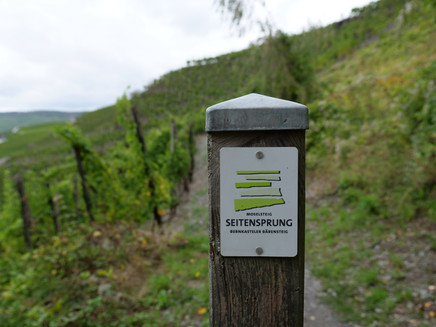
On the "Moselsteig Seitensprung" the path goes up and down into the Hunsrück and back again to the Moselle!
Insights into the hiking tour:
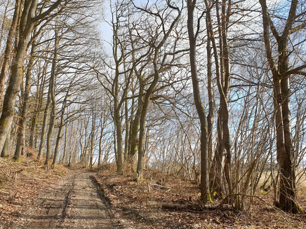
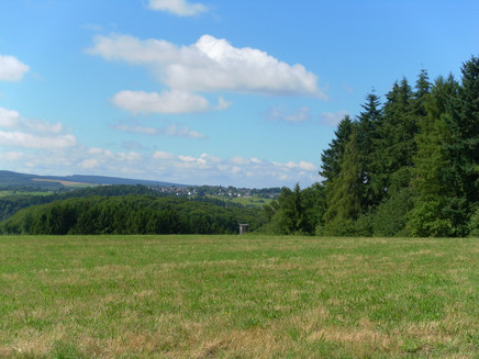
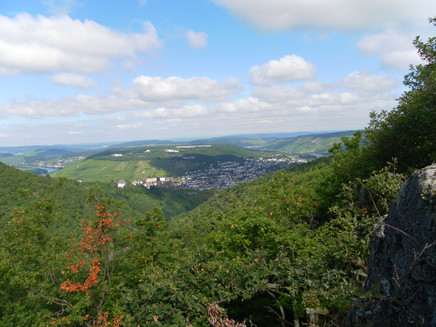
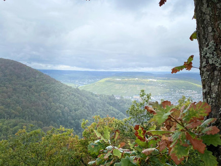
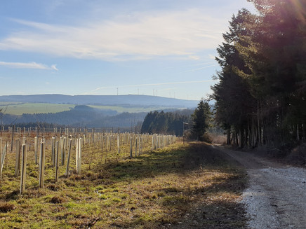
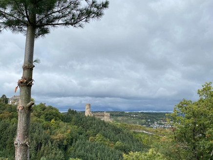
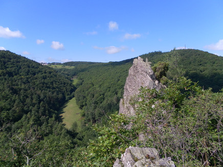
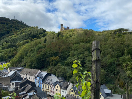
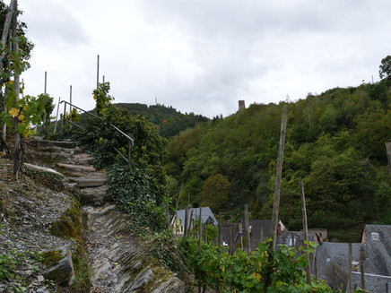
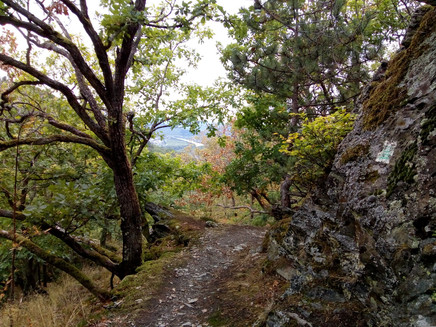
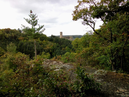
The "Moselsteig Seitensprung" is named after the city's heraldic animal, the bear. It starts in Bernkastel and leads back to the city n a 6.5 km loop. The hiking trail offers hikers great views of the Moselle town and its castle Landshut. Mostly on narrow, unspoilt paths, you climb up through the shady "Kallenfels"-valley to a height of around 400 metres above sea level. Past an old burial mound, you can admire views of the Hunsrück and Eifel mountain ranges from a spacious meadow area.
There are no places to stop for refreshments along the way, so don't forget to pack your rucksack. At the beginning or end of the tour there are numerous hiker-friendly places to stop in Bernkastel-Kues.
General information
Directions
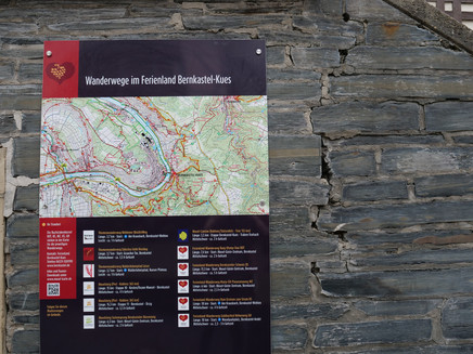
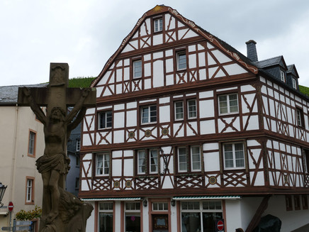
The best way to start the "Moselsteig Seitensprung" is from the Tourist Information (Mosel Guest Centre) in the Bernkastel district. From here, a access route signage leads you through the old town to the actual start, which is at the "Märchenhotel" (corner Burgstraße/Hinterm Graben). You go into the "Kallenfelsstraße" (it is recommended to walk the tour in the clockwise). From now on you walk steadily uphill, first on cobblestones, then on a narrow path. The "Kallenfelsbach" (small river) is a constant companion along the path. You walk through a wooden bridge over the brook. Then you follow a forest path, which leads further along the brook. Continue uphill to the route and construction site of the new B 50 (bridge). The hiking path bends and leads to reforestation at the edge of the meadow. You go on to the extensive open meadow area, which constitutes at the same time the highest point of the hiking trail. After crossing the terrain, continue along the edge of the forest in the direction of "Bresgenruh". From here the descent back to Bernkastel follows. On the way there are wonderful views of Landshut Castle and the Moselle valley.
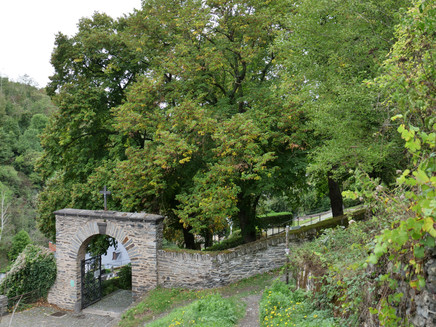
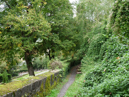
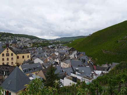
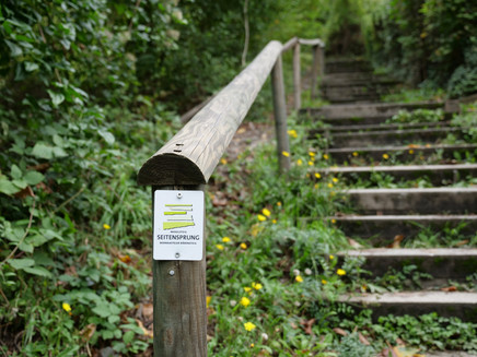
At the cemetery you follow the course of the cemetery wall. Almost at end of the stairs leading down you turn sharp right into a narrow path. Soon after, you walk a few meters uphill. Now over the roofs of the old town you follow the last stage of the hiking trail. A staircase leads you down to the "Kallenfelsstraße" and back to the starting point.
Safety Guidelines
The path through the "Kallenfels"-valley is also used by mountain bikers.
Equipment
sturdy shoes, provisions
Tip
Get some food in Bernkastel-Kues and after the climb through the "Kallenfels"-valley take a - deserved - break!
Getting there
From the motorway junction Wittlich (A1, A60) onto the federal road B 50 / E 42, arrival in Bernkastel-Kues in about 20 minutes.
Parking
Parking spaces at the banks of the Moselle in Bernkastel and Kues. You can buy multi-day tickets at the Tourist Information Office.
Public transit
Bernkastel-Kues: Taxi Edringer: (0049) 6531 - 8149, Taxi Priwitzer: (0049) 6531 - 96970, Taxi Reitz: (0049) 6531 - 6455
Nearest/primary Bus stop: Bernkastel Deinhard's
Literature
WanderGuide - Hiking guide for the Ferienland Bernkastel-Kues (in German).
Maps
WanderGuide - Hiking guide for the Ferienland Bernkastel-Kues (in German).
Additional Information
Ferienland Bernkastel-Kues
Gestade 6
54470 Bernkastel-Kues
Phone: (0049) 6531/500190
Pavings
- Street (3%)
- Asphalt Coating (1%)
- Path (38%)
- Hiking Trail (52%)
- Unknown (6%)
Weather

This tour is presented by: Ferienland Bernkastel-Kues, Author: Lisa Willems
