The Lieserpath - From the source to the mouth
- start: Source of the Lieser near Boxberg, coordinates: 50.271959, 6.856227 (568 m)
- destination: Moselstraße, 54470 Lieser
- difficult
- 75,41 km
- 21 hours
- 912 m
- 575 m
- 108 m
- 100 / 100
- 100 / 100
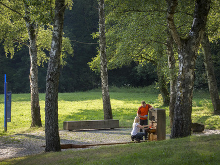
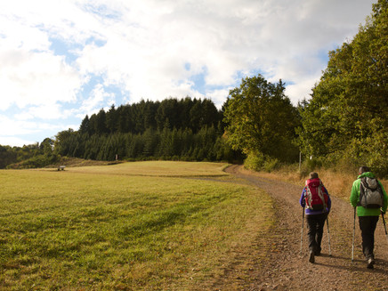
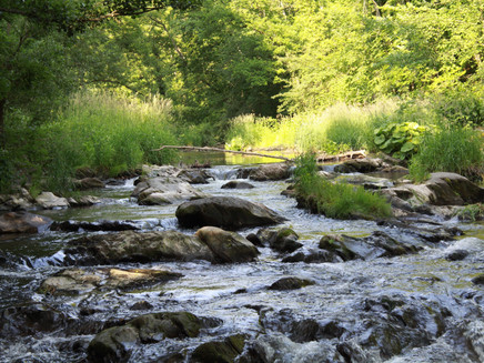
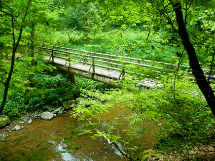
On four stages, hikers experience how the small Lieser stream develops into a river. Far away from everyday stress and road noise, they can enjoy the stimulating power of nature.
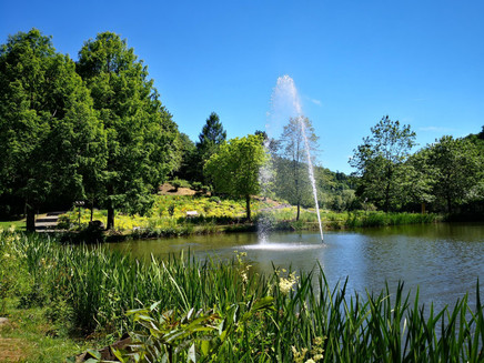
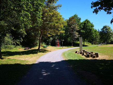
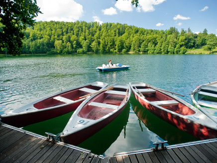
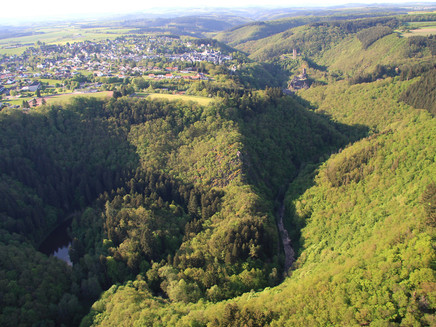
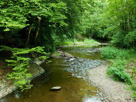
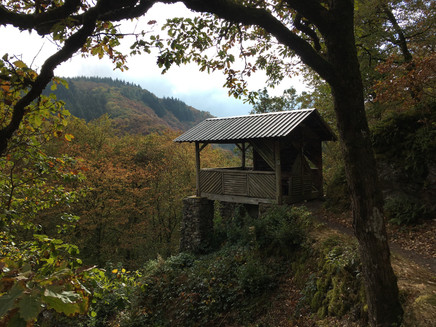
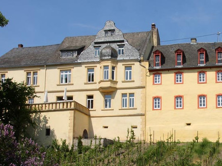
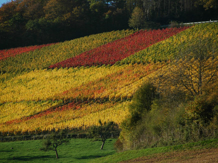
Hikers can follow its path from its marshy source near Boxberg to its mouth in the Moselle near the village of Lieser on the enchanting Lieser Path. On four stages, they experience how the water has powerfully carved a path through the volcanic landscape. Maars, castles and mills line the path. A beautiful environment!Again and again, benches in peaceful places offer an opportunity to rest tired feet for a while and to eat some of the provisions you have brought along. Once the hiker has reached the Moselle, he can proudly look back on a total distance of 74 kilometres. And perhaps he will then agree with Manuel Andrack, who named the Lieserpfad the "most beautiful hiking trail in the world" in one of his books, with a smile on his face.
Tour planner
3: Manderscheid - Wittlich Stage
General information
Directions
The hike is sufficiently signposted according to the logo.
Safety Guidelines
• Stay on the marked hiking trails
• Stay away from steep edges and rock faces (danger of falling)
• Keep an eye on your children if necessary
• Small steps and a steady pace save energy uphill and are easy on the joints downhill
• Take something to drink with you; drinking is important even when you are not thirsty
• And: Please keep nature clean.
Equipment
• Backpack food and sturdy shoes recommended
• Walking poles may be helpful for the trails
• Dress appropriately for the weather.
Tip
Hiking with & without luggage!
GesundLand Vulkaneifel GmbH will be happy to put together an individual hiking tour for you including hotel & luggage transfer.
Getting there
Please use the navigable start address in the Parking section to enter in your navigation device.Or use the >> online journey planner at the end of the stage description.
Parking
Boxberg
Hikers' car park, Gemeindehaus Boxberg, Tannenstraße, 54552 Boxberg (from there it is about 1.5 kilometres to the starting point)
Daun
Daun market square, 54550 Daun (fee required)
Manderscheid
Car park at the Kurhaus, Grafenstraße 21, 54531 Manderscheid
Wittlich
Wittlich, city centre car park (free of charge and unlimited in the rear area), at the city park
Lieser
Moselstraße, 54470 Lieser
Public transit
Boxberg
• Bus:
VRT 520 Kelberg - Boxberg - Rengen - Daun or Daun - Rengen - Boxberg - Kelberg
• Taxi:
Taxi Jäger: + 49 (0) 6592 500
Driving service Ganser: + 49 (0) 6592 981313
Daun
• Bus:
Regio line 300 Bernkastel-Kues - Manderscheid - Daun
• Taxi:
Taxi Bloningen:+49 (0)6592 2222
Taxi Edringer: +49 (0)6571 147774
Taxi Ganser: +49 (0)6592 3535
Taxi Jäger: +49 (0)6592 500
Taxi Jungen-Lombard: +49 (0)6572 9336564
Minicar Vulkaneifel: +49 (0)6571 6568
Manderscheid
• Bus:
Regio line 300 Bernkastel-Kues - Manderscheid - Daun
• Taxi:
Taxi Edringer: +49 (0)6571 147774
Taxi Jungen-Lombard: +49 (0)6571 5656
Minicar Vulkaneifel: +49 (0)6571 6568
Wittlich
• Bus:
Regio line 301 Bernkastel-Kues - Lieser - Wittlich
• Taxi:
Taxi Edringer +49 (0)6531 8149
Taxi Priwitzer +49 (0)6531 96970
Taxi Reitz: + 49 (0)6531 6455
Literature
Rother hiking guide: Eifel - Die schönsten Tal- und Höhenwanderungen
ISBN: 978-3-7633-4223-5
Maps
Hiking map of the Eifelverein
Nr. 20 "Daun – Rund um die Maare"
ISBN: 978-3-944620-09-1
Maßstab 1:25.000
Hiking map of the Eifelverein
Nr. 33 „Vulkaneifel um Manderscheid“
ISBN: 978-3-921-805-70-1
Maßstab: 1:25000
Hiking map of the Eifelverein
Nr. 24 „Wittlicher Land“
ISBN: 978-3-921-805-83-X
Maßstab: 1:25.000
Additional Information
GesundLand Vulkaneifel GmbH
Tel. +49 (0)6592 951370
E-Mail: info@gesundland-vulkaneifel.de
www.gesundland-vulkaneifel.de
Tourist Information Wittlich Stadt und Land
Marktplatz 5
54516 Wittlich
Tel. +49 (0)6571 4086
E-Mail: info@moseleifel.de
www.moseleifel.de
Eifel Tourismus (ET) GmbH
Tel. +49 (0)6551 96560
E-Mail: info@eifel.info
www.eifel.info
Weather

This tour is presented by: Eifel Tourismus GmbH, Author: Vera Esch / GesundLand Vulkaneifel
