Tour on the Upper Moselle
- start: Konz
- destination: Konz
- difficult
- 43,15 km
- 3 hours 15 minutes
- 311 m
- 412 m
- 129 m
- 100 / 100
- 80 / 100
Round trip from Konz via the Saargau to Wincheringen on the Upper Moselle.
From Konz via Könen and Tawern through the Mannebachtal valley to Mannebach. Continue via Fisch to Wincheringen on the Upper Moselle. Along the Moselle back to Konz.
General information
Directions
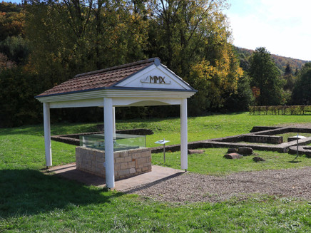
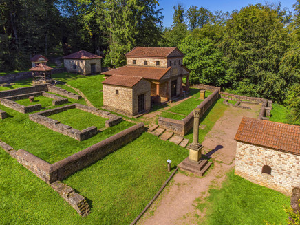
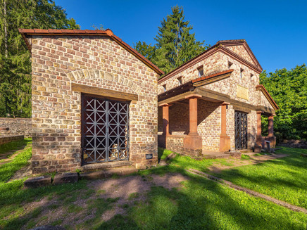
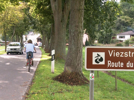
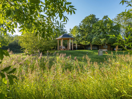
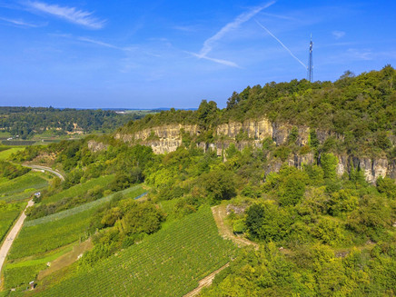
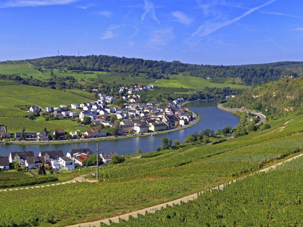
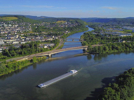
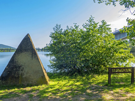
The tour starts at the tourist information centre in Konz and first leads to Tawern. Here you should definitely plan a detour to the reconstructed Roman temple complex. The route continues through the idyllic and shady Mannebachtal valley to Mannebach. From Mannebach, the tour continues uphill via the K 112 to the Saargau village of Fisch. Along the way, you can enjoy sweeping views over the agricultural Saargau region. You reach the Moselle wine village of Wincheringen via a farm track. You finally reach the Moselle via the village of Rehling.From the banks of the Moselle, the route continues along the Moselle cycle path to Konz. The Moselle Cycle Path was first rated by the German Cyclists' Federation (ADFC) in 2024 and officially awarded four stars as an ADFC quality cycle route. On this section, you will pass idyllic wine villages such as Nittel, Wellen, Temmels, Oberbillig and Wasserliesch. You always have the neighbouring country of Luxembourg and the vineyards in view. Once you arrive in Konz, the rest area at the mouth of the Saarmündung invites you to take a cosy break.
You will find e-bike charging stations along the way in:
- Konz at the railway station in Bahnhofstraße (Bike & Ride Box) and at Brunoplatz/Brunostraße 24 in the Karthaus district.
- Wincheringen at the bus stop "Am Markt".
- Nittel at the village square, Weinstraße/corner of In der Gessel.
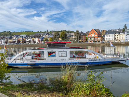
- Oberbillig at the ferry landing stage in Moselstraße.
Safety Guidelines
Important note:
This suggested route runs along various supra-regional cycle paths in the Rhineland-Palatinate and Saarland regions. There is no standardised signposting for the route.
Equipment
Take enough food and drink with you!
Tip
Visit to the Roman temple complex in Tawern.Listening experience with the listening points on the Moselle cycle path at www.saar-obermosel.de/radfahren/lauschtouren.
Getting there
You can reach Konz coming from Trier or Saarburg via the B 51 or along the Upper Moselle via the B 419.
Parking
Free parking is available at the main railway station in Konz, at the market directly next to the town hall or at the car park on the B 419 (Am Luxemburger Damm).
Public transit
DB line Trier - Saarbrücken to Konz station or DB line Wittlich - Trier - Perl to Konz centre station.
Information on current public transport timetables can be found at www.bahn.de or www.vrt-info.de/busnetz.
Literature
You can obtain tips and information as well as free brochures and maps of the Saar-Obermosel holiday region from Saar-Obermosel-Touristik with the tourist information offices in Konz (Tel. 06501-6018040) and Saarburg (Tel. 06581-995980).
Or order the brochures you require directly from our online brochure shop.
Tip: Saar-Obermosel guest newspaper, Saar-Obermosel leisure map.
Maps
Die ADFC Regionalkarte "Trier & Umgebung" im Maßstab 1:50 000 erhalten Sie zum Preis von 10,95 € bei der Saar-Obermosel-Touristik in den Tourist-Informationen in Konz und Saarburg. Oder bestellen Sie die Karte direkt in unserem Online-Prospektshop.
Additional Information
Saar-Obermosel-Touristik, Tourist-Information Saarburg, Graf-Siegfried-Str. 32, 54439 Saarburg, Tel. 06581-995980
Saar-Obermosel-Touristik, Tourist-Information Konz, Saarstr. 1, 54329 Konz, Tel. 06501-6018040
E-Mail: info@saar-obermosel.de
Besuchen Sie unsere Website mit exklusiven Tipps und Infos zur Urlaubsregion Saar-Obermosel:
https://www.saar-obermosel.de/
https://www.facebook.com/saarobermosel
Pavings
- Street (21%)
- Asphalt Coating (25%)
- Hiking Trail (10%)
- Crushed Rock (43%)
- Path (1%)
Weather
This tour is presented by: Saar-Obermosel-Touristik e.V , Author: Saar-Obermosel-Touristik e.V.
