Route suggestion: Grenzpfad route at the Riveristalsperre
- start: Parking lot Schweinspielhütte in 54317 Morscheid
- destination: Parking lot Schweinspielhütte in 54317 Morscheid
- medium
- 8,58 km
- 2 hours 35 minutes
- 203 m
- 467 m
- 307 m
- 80 / 100
- 60 / 100
The Riveristalsperre and fantastic views are offered by this route suggestion around the Morscheider Grenzpfad. Ideal for those who find the Traumschleife with just under 16 km too far.
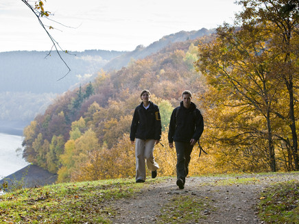
The hike over narrow meadow and forest paths mostly proceeds in undisturbed quiet along the Traumschleife Morscheider Grenzpfad.
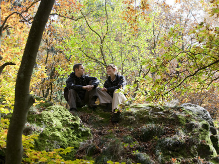
Some viewpoints offer good views of the Riveristalsperre, built between 1954 and 1958. The dam is 178 meters wide and rises 50 meters high. From a sensory bench, you can see the Ruwer valley. After a passage through the Morscheider municipal forest, you reach an old, gnarled oak. From another sensory bench between meadow grove and forest, you have a good view of the Ruwer valley, Moselle valley, and the Eifel.
After 7 km on the Traumschleife, we leave it and return straight back to the hiking parking lot at Schweinspielhütte via a farm road.
General information
Directions
From the parking lot above Morscheid we reach the entry to the Traumschleife via a 150 m long access path. Here we also meet the premium long-distance hiking trail Saar-Hunsrück Steig, which accompanies us for the next 3.5 km. We follow the Steig south and turn right after 400 m. We climb across the natural monument of the quartzite cliffs "Langenstein" and reach a forest path. Via this and another path we reach a forest road that leads us downhill to the Riveristalsperre. A viewpoint offers a good view of the dam and the high forest. We continue along the dam circular path until after about 500 m we turn onto a forest path that leads us uphill. Shortly before reaching the high plain, we turn right and go through light scrub to a shelter in the Morscheider high forest. After crossing the road from Morscheid to Bonerath, we turn sharply left after entering a small forest. After another path section we reach a scenic resting place. The path continues over meadows into the Morscheider municipal forest. After crossing the forest section, we reach another resting place with views of the Ruwer valley and the Eifel. We continue hiking and reach a crossroads at km 7. Here we return via the farm road, which turns right, back to the parking lot at Schweinspiehlhütte.
Safety Guidelines
Basically, entering the forest and walking on the hiking trails is at your own risk.
Seasonal or weather-related conditions require increased sure-footedness on certain path sections. Therefore, wear clothing and hiking shoes with appropriate tread adapted to the season and weather.
You are in the drinking water protection area of the Riveristalsperre. Please observe the relevant instructions.
Tip
Pause at the large bench at the lake view just before reaching the dam again and enjoy the panoramic view! Plan your break here!
Getting there
via K 65 to Morscheid, take the Sportplatz/Hiking parking lot exit
Navigation: Hauptstraße 42, 54317 Morscheid
Parking
Parking lot at the Schweinspielhütte, 54317 Morscheid
Public transit
www.vrt-info.de
Stadtwerke Trier Verkehrs GmbH lines 30 and 86
Additional Information
This is a route suggestion that is not fully signposted. Please note that you should bring map material with you or download the track if necessary.
Pavings
- Hiking Trail (36%)
- Path (28%)
- Crushed Rock (28%)
- Unknown (7%)
Weather

This tour is presented by: Mosel. Faszination Urlaub, Author: Touristinformation Ruwer


