Walddistel path in Farschweiler
- start: Parking lot barbecue hut, junction B 52 Farschweiler (512 m), 49.711491, 6.824829
- destination: Parking lot barbecue hut, junction B 52 Farschweiler (512 m), 49.711491, 6.824829
- easy
- 3,47 km
- 2 hours
- 92 m
- 593 m
- 502 m
- 80 / 100
- 20 / 100
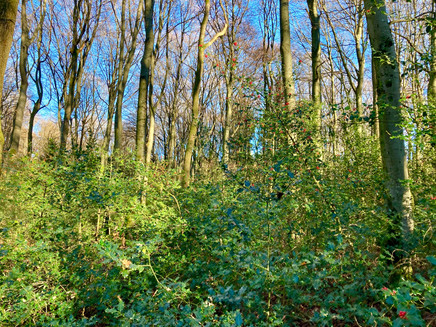
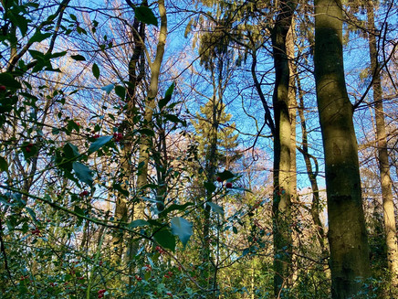
Here you can admire a large, contiguous occurrence of the Walddistel. Various topics related to forest and nature conservation are presented to visitors at the different stations.
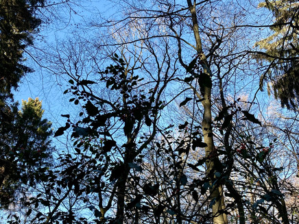
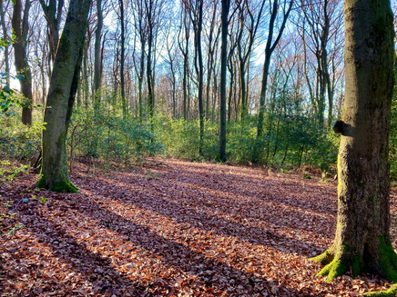
The Walddistel (ilex aquifolium) has one of its largest contiguous occurrences in Rhineland-Palatinate in Farschweiler. At Rascheider Weg, there is a total of 2.5 ha area with Walddistels.
In 2009, a 3.4 km long educational trail about the Walddistel and overall about forest, nature, and their protection was created with great support from the Saar-Hunsrück Nature Park and the state. In 2021, on the initiative and under the leadership of the Farschweiler homeland and traffic association in cooperation with the Ruwer municipal tourist information and with financial support from the state of Rhineland-Palatinate and the Saar-Hunsrück Nature Park, the redesign of the Walddistel path was realized.
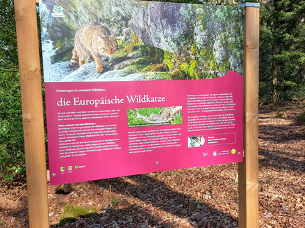
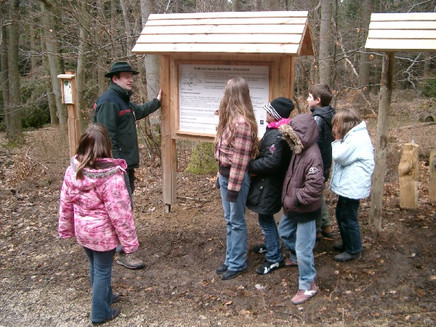
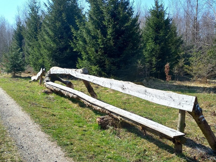
The nature experience trail is very popular with children and is often visited by school and kindergarten groups. At the individual stations, very different topics are partly interactively experienceable. You learn a lot about the raw material wood as an energy provider, can test in a jumping pit whether you can jump as far as a hare or a lynx, or you count the rings of a tree trunk to determine its age. On a former charcoal pile site, you can still find charcoal residues under the leaves that were processed there at that time. Forest detectives can search for different objects, and information boards about wildcats and wolves provide interesting facts about these forest inhabitants.
New is the digital scavenger hunt offered on the path. You can easily answer tricky questions if you pay attention to discoveries at the stations on the path. The QR code with the link to the digital scavenger hunt is available on site. Further information can be found on the website of the Ruwer tourist information at https://www.ruwer-hochwald.de/aktiverlebnisse/wandern/themenwege-lehrpfade/walddistelpfad/
General information
Directions
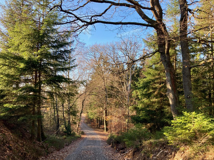
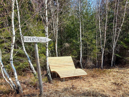
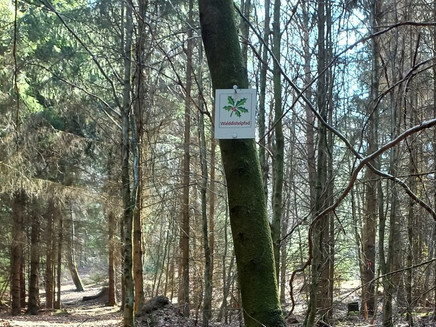
From the parking lot, we follow the forest road for about 200 m until the entrance to the Walddistel path. The educational trail is continuously marked with a symbol in the shape of a thistle leaf and is marked in one direction. Already in the first meters, we get to know different tree species and learn a lot about the importance of the forest for humans and animals. Along the jumping pit (it is really impressive how far a deer can jump!), it goes to the station "Wood as an energy source." A little later we reach the area of the Walddistels and can admire the dense growth. Further up the path there is information about the age of a tree, and we reach the charcoal pile site with the possibility to take a break. At the top, we reach the former Roman road and the path leads us back to our starting point via further stations.
Safety Guidelines
Especially in autumn, it should be noted that the leaves on the ground can hide unevenness, roots, stones, or holes on the path. After storms, trees can still fall or branches can fall off afterwards. Especially in adverse weather conditions, natural paths can have muddy and slippery sections. You must expect such path impairments when taking a hike.
Equipment
Sturdy footwear is recommended.
Tip
Admire the size of the Walddistels in the midst of them, as they can grow up to ten meters high under favorable growing conditions.
Getting there
Arrival from Koblenz direction, A1, Trier-Ruwer exit towards Hermeskeil, B52 / L151. Farschweiler exit, parking lot directly on the right side
A1, Reinsfeld exit, towards Trier on L151, Farschweiler exit, parking lot directly on the right side
Parking
Free parking at the parking lot in front of the Sternfeld barbecue hut
Public transit
Line R 200 between Trier and Hermeskeil / Türkismühle
Maps
Hiking map of the Hochwald recreational area
Pavings
- Hiking Trail (60%)
- Path (40%)
Weather

This tour is presented by: Mosel. Faszination Urlaub, Author: Touristinformation Ruwer
