Weinlagenweg Zeltingen-Rachtig
- start: Fire station, Im Mittelweg 1, 54492 Zeltingen-Rachtig
- destination: Fire station, Im Mittelweg 1, 54492 Zeltingen-Rachtig
- easy
- 6,54 km
- 1 hour 52 minutes
- 116 m
- 255 m
- 139 m
- 40 / 100
- 20 / 100
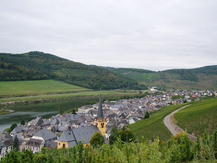
A panoramic tour through the "Himmelreich", the "Schlossberg" and the "Sonnenuhr" - the famous vineyards of Zeltingen-Rachtig.
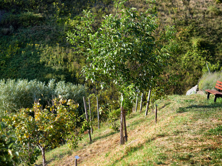
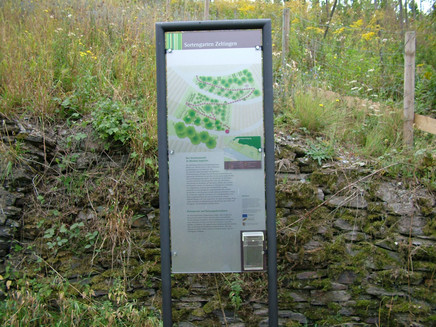
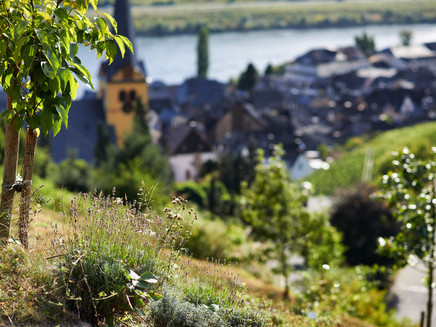
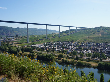
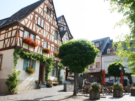
A beautiful circular hiking trail through the vineyards above the double community of Zeltingen-Rachtig.Insights into the hiking tour:The hike leads under the Hochmosel bridge into the vineyards. Especially in the summer months, when the vines are in blossom, it is especially beautiful to hike in the middle of the vineyards - great views of the Moselle valley are guaranteed all year round. Also the "Sortengarten" is on the way. Here, on a former steep vineyard area, Mediterranean and exotic species have been planted alongside native shrubs and useful trees and shrubs to test whether the shrubs can establish themselves and adapt to the climatic conditions. Amongst others, walnut, chestnut, hazel, peach, mirabelle, reneclode, quince, medlar, mulberry, pomegranate, sparrow, sea buckthorn, kiwi, akebie, goji berry ...There are hiking-friendly places to stop in the village.
General information
Directions
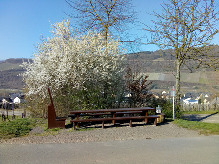
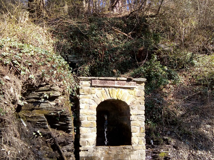
The fire station of Zeltingen-Rachtig am Rebhang is located exactly between the two districts. It is an orientation and starting point for your hike through the vineyards, which you walk clockwise. To the right of the fire station, a small path leads you up the slope. At the sensory bank, turn right until you reach the crossroads, then follow the markings of the Weinlagenweg in a clockwise direction. First you will enter the "Kingdom of Heaven". On the way, the "Rittertafel" invites you to take a rest and reminds you of the Teutonic Knights who worked here in the Middle Ages. Another vineyard is also named after the Deutschherren, the "Deutschherrenberg". However, it is located in the vineyards opposite the village and extends from the Machern monastery towards the bridge of the Hochmosel crossing. You will also pass this bridge - twice on your further walk and admire it from below. It has a height of about 160 metres and spans the Moselle valley over a length of 1.7 kilometres. You continue walking moderately uphill amidst the vineyards. At the St. Stephanus fountain you can refresh yourself and then turn right. Soon afterwards you will pass the vineyard "Schlossberg" with new vine plantations. Then you slowly descend again through the variety garden. In the variety garden, almost 50 fruit and berry varieties from all over the world are planted on a 4000 m² steep slope: shell fruit such as walnut, eskastanias, hazelnuts on the lower slope, berry-bearing trees above and Mediterranean species such as figs and strawberry trees as well as exotic woods and climbing plants such as kiwi, persimmon and chokeberry on other parts of the area. Right next to the "Sortengarten" there is a well-known vineyard, the "Zeltinger Sonnenuhr". However, you walk back to our starting point above the village.
Safety Guidelines
No special safety instructions.
Equipment
Sturdy shoes
Tip
Above the variety garden there is also a Jewish cemetery. However, there are only a few gravestones left to be seen.
Getting there
Coming from Bernkastel, follow the B53 in the direction of Koblenz through Graach to Zeltingen-Rachtig.
Parking
Free parking is available in the Gestadestraße at the hotels and in the residential area. Please note that in the high season the parking spaces are mainly occupied by hotel guests.
Public transit
Bernkastel-Kues: Taxi Edringer: (0049) 6531 - 8149, Taxi Priwitzer: (0049) 6531 - 96970, Taxi Reitz: (0049) 6531 - 6455
Literature
All hiking trails in the Bernkastel-Kues holiday region are available in the WanderGuide. This brochure is available at all tourist information offices in the Ferienland. Online: https://en.bernkastel.de/visitor-information/order-brochures/brochures
Maps
WanderGuide - the hiking guide in the Bernkastel-Kues holiday region. With description and map. (only available in german)
Additional Information
Ferienland Bernkastel-Kues
Gestade 6
54470 Bernkastel-Kues
Phone: (0049) 6531/50019-0
Tourist information Zeltingen-Rachtig
Uferallee 10
54492 Zeltingen-Rachtig
Phone: (0049) 6532/2404
Pavings
- Path (5%)
- Crushed Rock (30%)
- Hiking Trail (65%)
Weather

This tour is presented by: Ferienland Bernkastel-Kues, Author: Lisa Willems
