Zippammer's World: Nature and adventure trail near Traben-Trarbach/Wolf
- start: Touristinfo Wolf, Maiweg 4
- destination: Touristinfo Wolf, Maiweg 4
- difficult
- 9,68 km
- 3 hours 5 minutes
- 234 m
- 296 m
- 100 m
- 80 / 100
- 80 / 100
Wonderful Moselle panorama, interesting facts about local fauna and flora and historical walls
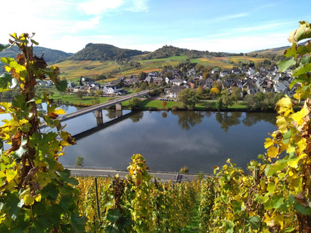
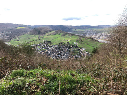
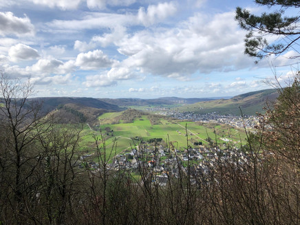
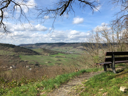
Nature discovery trail through woods and steep vineyard slopes, past the ruins of a French fortress and the glider airfield on the "Mont-Royal", with many vantage points on one of the most beautiful Moselle loops, view of Traben-Trarbach, OT Wolf with Koppelberg, OT Rissbach and Kröv, distant view of the Hochmoselle bridge near Zeltingen-Rachtig.
General information
Directions
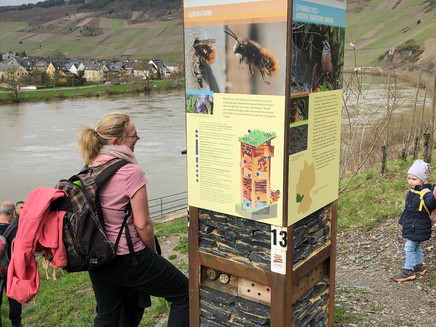
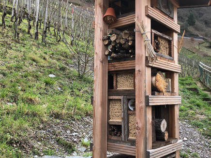
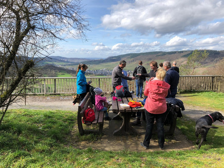
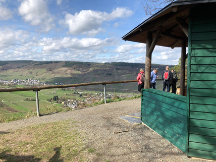
From the Touristinfo-Wolf we walk over the old Moselle bridge to the other side of the Moselle and follow the signs "Zuweg Moselsteig". Once on the other side of the Moselle, turn half left into the Weinbergweg above the bridge access road. This is where the theme trail "Zippammers Welt" begins. Along the theme trail you will learn many interesting facts about the Mediterranean bird Zippammer, which has several breeding grounds along the Moselle, including here in the "Wolfer Goldgrube". We continue to follow the signs "Zuweg Moselsteig", can visit the remains of a Roman wine press on the way and then climb up the serpentines to the next path. Once there, we will find another information board about "Zippammer's World" a little off the trail. The hiking route continues to the left and always follows the signposting "Zuweg Moselsteig". Because of the wonderful view of the Moselle loop with the villages of Wolf and Kröv and many brick-built seats, the ascent is only half as difficult. At the top, we follow the asphalt road to the right for a short distance in the direction of "Mont Royal" (signs 8 + 9) until we reach the Moselsteig. Now the Moselsteig leads us about 4 km in the direction of Traben-Trarbach. We walk along the edge of the slope and can enjoy spectacular views again and again. We pass the remains of a French fortress from the time of the Sun King Louis XIV. If you are interested in culture and historic walls, you can extend the walk and explore the well-signposted fortress. A display board is located in a small car park, which our path crosses. We continue along the Mosel path in the direction of the glider airfield. In the summer months we can have a snack in the airfield restaurant and watch the gliders surfing the clouds for a while. This should also be the re-entry to our hiking trail for the fortress explorers! But before we continue on the Moselle trail, we take a narrow path opposite the restaurant to a refuge and enjoy a particularly beautiful view of the Moselle valley. As an alternative to the restaurant, this is also an ideal resting place to see what else your rucksack has to offer. Strengthened, we continue on the Moselle trail in the direction of Traben-Trarbach, which soon leads us right through the vineyards to the crossing of the hiking trail "T9". From here we follow the paved path down to the right towards Rissbach. When you reach the "Rosenhof", we stay on the right side of the road for the time being and walk towards the new Moselle bridge. After the campsite entrance we cross the road and then the bridge on the left. Now we take a leisurely walk and cycle path along the banks of the Moselle back to Wolf.
Safety Guidelines
Sturdy shoes and surefootedness required!
Equipment
The slate heats up well in the sun! A rucksack for picnics and to store the jacket (which quickly gets too warm) is highly recommended.
Tip
The beautiful views and the steep vineyards make you want to have a glass of Riesling. So: a good bottle of "Wolfer Goldgrube" in your rucksack!
Getting there
From Koblenz or Trier via A48, exit motorway junction Wittlich onto A60 in the direction of Hahn airfield, then over the Hochmoselle bridge, exit Traben-Trarbach (1st exit on the other side of the Moselle), then down the Moselle to Wolf.
From Liège/Bitburg on the A60 to the Wittlich motorway junction, then over the Hochmoselle bridge, exit Traben-Trarbach (1st exit on the other side of the Moselle), then down the Moselle to Wolf.
Via A61, exit Rheinböllen, B50 to exit Traben-Trarbach, then up the Moselle to Wolf.
Parking
Moselle banks Traben-Trarbach/Wolf,
from 2021 car park of the village community centre "Im Kohlgarten
Public transit
accessible by train and bus
Long distance journey to DB station Bullay, change to Moselregiobahn to Traben-Trarbach station, change to bus at Traben bus station with destination Wolf (stop Gemeindehaus).
The bus stop at the Gemeindehaus is also the starting and end point of the hiking tour!
Maps
Moselle hiking area. Moselle region Traben-Trarbach Kröv
Additional Information
Tourist-Information Traben-Trarbach
Am Bahnhof 5
56841 Traben-Trarbach
+49 6541-83980
www.traben-trarbach.de
info@traben-trarbach.de
Pavings
- Unknown (91%)
- Street (4%)
- Path (4%)
- Hiking Trail (1%)
Weather
This tour is presented by: Moselregion Traben-Trarbach Kröv, Author: Edgar Langen
