Moselsteig Side Trail Bernkasteler Bärensteig
- start: Bernkastel, Kallenfelsstraße not far from the market square.
- destination: Bernkastel, Kallenfelsstraße not far from the market square.
- medium
- 6,46 km
- 3 hours
- 300 m
- 420 m
- 120 m
- 80 / 100
- 40 / 100
Up above the rooftops; across the uplands.
As legend has it, the village of Bernkastel derived its name from the word “Bärenkessel” (Bear boiler). Supposedly, the naming goes back to the Archbishop of Trier, who founded the town following and adventure with a bear.
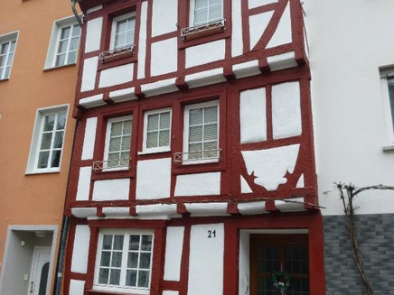
This Moselsteig Side Trail is also named after the bear, the animal on the municipal coat of arms. The trail starts above the roofs of the old town and runs in an approx. 6.5 kilometre loop back to Bernkastel-Kues. This Side Trail offers hikers wonderful views of the Moselle town and the Landshut castle, e.g. from the “Jodlerplatz”, the outcrops of the “Goldenen Kreuz” or the “Bresgenrugh”. On mainly narrow, natural trails, you will hike uphill along these rocks above the Tiefenbach Valley or through the shady Kallenfels creek valley at an altitude of over 400 m above sea level. Passing an old burial mound, you will marble at fantastic views of the Hunsrück and Eifel mountain range from the vast grassy areas.
General information
Directions
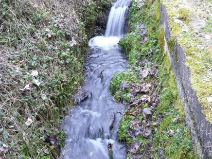
The Moselsteig Side Trail Bernkasteler Bärensteig starts in the heart of Bernkastel. Not even 100 m away from the market square surrounded by half-timbered houses, the about 6.5 km circular trail starts at the eye-catching and unusual double cross. And it gets straight to the point! Together with the Moselsteig Trail you first hike on cobblestones steeply uphill to the Kallenfelstal. The houses quickly fade into the distance and you only hear the gushing of the small river while hiking on the ascending path through the forest. The "Förster Schell Pfad" (Forester Schell Trail), runs directly along the water and sometimes a little above it through a forest of mainly oak trees. The slope only becomes slightly flatter. You cross the stream over a wooden footbridge. A place to take a breather. You have managed about have of the ascent.
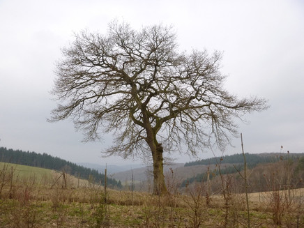
The Side Trail separates from the Moselsteig Trail and continues to ascend. The valley is now a little wider and soon you get a view of an open meadow close to the edge of the forest. Soon, you have finished the climb. At the edge of the large meadow, you now continue for a short distance with almost no gradient. The path reaches the green bridge of the new highway. Here, the direction of the hike changes again and over a road, the Side Trail now runs towards the Moselle. As the path runs exactly over the ridge, you have a free view to both sides. Especially to the south you can look far into the Hunsrück. The town of Monzelfeld can be seen and the transmission pole on the "Olymp" which is very close to the Moselle. At the edge of the forest you have reached the highest point of the Bärensteig. At 421 m above sea level NN you can use the rest area well, and the panorama is great.
The view continues on the descent following the meadow path at the edge of the forest. Then the path changes into the forest, where a few more metres uphill need to be tackled. Crossing a forest meadow, you now continue downhill in direction Bresgenruh. You quickly arrive a the spectacular viewing point. The awesome view also reveals a view of the river between Zeltingen and Brauneberg.
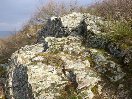
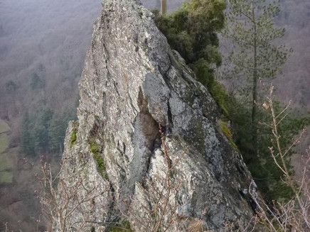
The following section is a dream. The forest path winds along the slope, lined with slate rocks and various moss formations. This can be enjoyed at a slight slope with not much effort. The path reaches the viewing point Goldenes Kreuz (Golden Cross). From the rock formation, you have a view of the densely wooded and deeply cut Tiefenbachtal. At the front, above the abyss, stands a golden cross which gave the name to the rock. The path is now a bit wider and accompanied by mighty Douglas firs. Passing the Matthiaskreuz (Matthias Cross), you reach a path that runs flat for a section, right at the height of the castle and former youth hostel. If you look back here, you once again can see the slate rock with the golden cross. A steep, rocky serpentine path follows, which runs past the Jodlerplatz (a further viewing point in direction of the castle). Through an old vineyard slope with dry slate walls you reach the cemetery in the looping road. Hike half way around the cemetery. The path now leads through the vineyards above the roofs of the city. Beautiful views of the castle and church tower at the Moselle open up. Over steep steps and past the old synagogue, the Bernkasteler Bärensteig finally ends in the middle of the historical alleys of the Bernkastel Old Town. It's only a few steps to the parking space at the Moselle or the bus stop.
Equipment
- Sturdy hiking footwear
- Appropriate weatherproof hiking gear
- Picnic lunch
Tip
Although hiking on the Moselsteig Side Trail Bernkasteler Bärensteig involves higher altitudes, this path is recommended for hot and sunny days. The ascents are mainly in shady forests or in the shady Kallenfelstal. The many restaurants in Bernkastel offer refreshments after your hike.
In winter, the forest slope above Bernkastel offers surprising views, which remain hidden under the leafy canopy in summer.
Getting there
Bernkastel-Kues: via B 53
Parking
large parking lot at the banks of the Moselle (partially subject to charge), additional parking in the city district Kues
Public transit
Bernkastel-Kues: Bus line 333, stop Kues Forum or Bernkastel Schanzstraße
Literature
Literature (only available in German):
"Seitensprünge Band 2" - 17 Premium-Rundwanderungen von Bernkastel-Kues bis Koblenz von ideemedia
Authors: Ulrike Poller, Wolfgang Todt, Publisher: ideemedia, 160 pages, Format: 11,0 x 16,4 cm, ISBN: 978-3-942779-60-9, 12,95 €
Maps
Leisure Map Moselsteig Trail – Map 2: Trier - Zell (Moselle) (Stages 5 - 14), ISBN: 978-3-89637-420-2
Additional Information
Mosellandtouristik GmbH
Kordelweg 1, 54470 Bernkastel-Kues; Phone: +49 (6531) / 97330
Tourist information office Bernkastel-Kues
Gestade 6, 54470 Bernkastel-Kues; Phone: +49 (6531) / 500190
Pavings
- Asphalt Coating (5%)
- Hiking Trail (44%)
- Path (42%)
- Crushed Rock (10%)
Weather

This tour is presented by: Mosel. Faszination Urlaub, Author: Mosellandtouristik GmbH
